
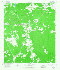
1960 Map of Phelps
USGS Topo · Published 1963About this map
The Sam Houston National Forest dominates this landscape in Walker County, where managed timberlands and federal boundaries intersect with local agricultural and institutional history. At the heart of the region, the Missouri Pacific railroad serves as the primary corridor for commerce, passing through the small community of Phelps. A significant footprint is occupied by the State Prison Farm (Goree), reflecting the long-standing correctional history of the area. The map also captures the local industrial and ecological landscape, featuring an Oil Field and several individual Oil Wells, alongside the State Fish Hatchery and several small water bodies like Tillie Lake and Joy Lake. Genealogy researchers may find particular value in the documentation of several historic religious and burial sites, including the Grant Colony Cem, Blackjack Cem, and the former locations of Mt Moriah Ch (Site) and Harmony Ch (Site).
Find a feature on this map
52 named features on this map. Tap any name to fly to it.
Don’t see what you’re looking for? This feature index may not catch every label — zoom into the map to look around manually.
Map Details
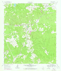
Editions of this 1960 Phelps Map
3 editions found
Other maps of this area

1954 · Beaumont
USGS Topo · 1:250,000

1957 · Beaumont
USGS Topo · 1:250,000

1959 · Moore Grove
USGS Topo · 1:24,000

1960 · Maynard
USGS Topo · 1:24,000

1960 · New Waverly
USGS Topo · 1:24,000

1961 · Staley
USGS Topo · 1:24,000

1961 · Riverside
USGS Topo · 1:24,000

1961 · Oakhurst
USGS Topo · 1:24,000

1962 · Pine Prairie
USGS Topo · 1:24,000
1963 · Huntsville
USGS Topo · 1:24,000