
1955 Map of Phenix City
USGS Topo · Published 1964About this map
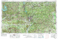
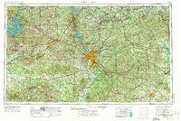
The Chattahoochee River corridor anchors this regional study, serving as both a state boundary and a focus for industrial development in the mid-1950s. The urban core of Columbus, Georgia, and Phenix City, Alabama, dominates the center of the sheet, while the massive footprint of the Fort Benning Military Reservation extends to the southeast. To the west, the landscape is defined by the expansive waters of Martin Lake and the Tallapoosa River drainage, where small textile and manufacturing hubs like Lanett, Langdale, and Fairfax line the riverbank.
Find a feature on this map
56 named features on this map. Tap any name to fly to it.
Don’t see what you’re looking for? This feature index may not catch every label — zoom into the map to look around manually.
Map Details
Editions of this 1955 Phenix City Map
3 editions found
Other maps of this area

1890 · Talladega
USGS Topo · 1:125,000

1891 · Ashland
USGS Topo · 1:125,000

1892 · Talladega
USGS Topo · 1:125,000

1899 · Wedowee
USGS Topo · 1:125,000

1901 · Wetumpka
USGS Topo · 1:125,000

1901 · Wetumpka
USGS Topo · 1:62,500

1902 · Wedowee
USGS Topo · 1:125,000

1903 · Wetumpka
USGS Topo · 1:125,000

1906 · Dadeville
USGS Topo · 1:125,000

1907 · Talbotton
USGS Topo · 1:125,000