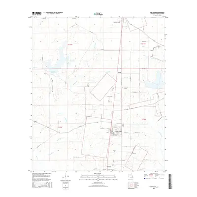
2015 Map of Pine Prairie
USGS Topo · Published 2015About this map
Pine Prairie and its surrounding rural hamlets are the focus of this 2015 survey, which captures the interior of Evangeline Parish. The landscape is defined by the winding paths of Boggy Bayou, Carps Bayou, and Bayou Nezpique, which cut through a grid of local roads and private land holdings. The map serves as a vital record for family researchers, documenting numerous small burial sites such as Saint Peters Cem, Dehany Cem, and the Johnson Cemetery.
Find a feature on this map
84 named features on this map. Tap any name to fly to it.
Don’t see what you’re looking for? This feature index may not catch every label — zoom into the map to look around manually.
Map Details
Editions of this 2015 Pine Prairie Map
This is the sole edition of this map. No revisions or reprints were ever made.
Other maps of this area

1935 · Beaver
USGS Topo · 1:31,680

1935 · Turkey Creek
USGS Topo · 1:62,500

1942 · Oakdale
USGS Topo · 1:62,500

1947 · Ville Platte
USGS Topo · 1:31,680

1947 · Bond
USGS Topo · 1:31,680

1949 · Glenmora
USGS Topo · 1:31,680

1949 · Turkey Creek
USGS Topo · 1:62,500

1952 · Lake Charles
USGS Topo · 1:250,000
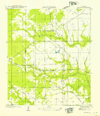
1954 · Beaver
USGS Topo · 1:31,680

1954 · Lake Charles
USGS Topo · 1:250,000