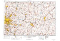
1958 Map of Pittsburgh
USGS Topo · Published 1971About this map
Industrial valleys and Appalachian ridges define this regional landscape at the end of the 1950s, centered on the confluence of the Allegheny River and Monongahela River. This 1:250,000 scale map captures the dense urban and industrial corridors stretching toward Butler, Greensburg, and Connellsville. The steel-era infrastructure is prominently displayed, from the heavy rail networks of the Baltimore & Ohio RR and New York Central RR to the path of the Pennsylvania Turnpike cutting across the southern portion of the sheet. Beyond the river towns, the terrain rises into the Allegheny Mountains, where numerous conservation areas like Laurel Hill State Park and Linn Run State Park mark the high ridges. This map provides a vital overview of Western Pennsylvania's mid-century economic geography, showing the spatial relationship between coal-country settlements like Johnstown and the regional hubs of Altoona and Kittanning.
Find a feature on this map
195 named features on this map. Tap any name to fly to it.
Don’t see what you’re looking for? This feature index may not catch every label — zoom into the map to look around manually.
Map Details
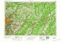
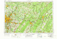
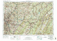
Editions of this 1958 Pittsburgh Map
5 editions found

Other maps of this area

1900 · Uniontown
USGS Topo · 1:62,500

1900 · Mercersburg
USGS Topo · 1:62,500

1900 · Masontown
USGS Topo · 1:62,500

1900 · Latrobe
USGS Topo · 1:62,500

1900 · Everett
USGS Topo · 1:62,500

1900 · Kittanning
USGS Topo · 1:62,500

1901 · Amity
USGS Topo · 1:62,500

1901 · Rural Valley
USGS Topo · 1:62,500

1901 · Waynesburg
USGS Topo · 1:62,500

1901 · Huntingdon
USGS Topo · 1:62,500