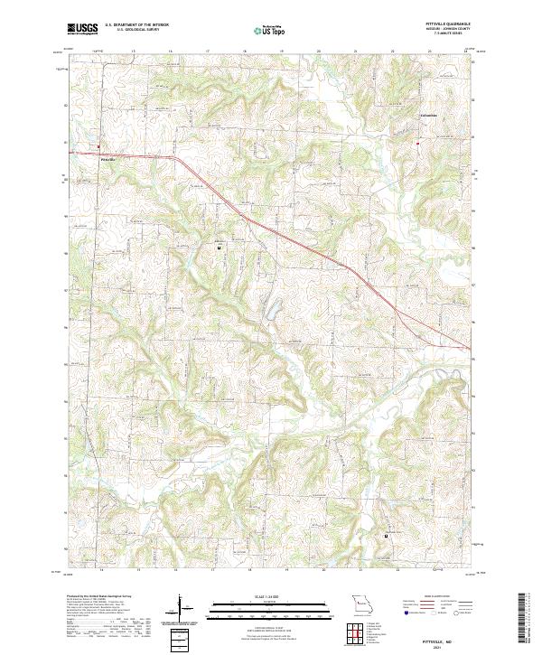
2021 Map of Pittsville
USGS Topo · Published 2021About this map
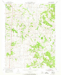
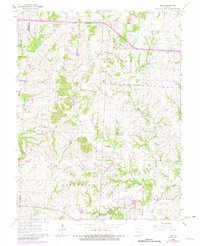
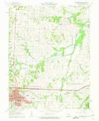
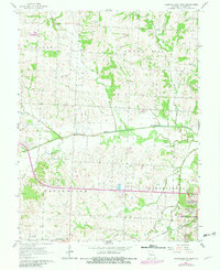
Pittsville and Columbus anchor this agricultural landscape in Johnson County, defined by a dense network of sectional roads and the branching waterways of the Blackwater River system. The drainage pattern is complex, with the N Fork Blackwater River and S Fork Blackwater River carving through the terrain alongside smaller tributaries like Little Blackwater Cr, Bin Oak Cr, and Butcher Br. This 2021 survey reveals a modern rural structure built upon long-established land divisions, where the grid of named roads such as NW 700th Rd and W Division Rd intersects the natural winding paths of the creeks.
Find a feature on this map
43 named features on this map. Tap any name to fly to it.
Don’t see what you’re looking for? This feature index may not catch every label — zoom into the map to look around manually.
Map Details
Editions of this 2021 Pittsville Map
This is the sole edition of this map. No revisions or reprints were ever made.
Historical Maps of Pittsville Through Time
15 maps found
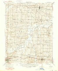
1917 Knobnoster
Johnson County, MO
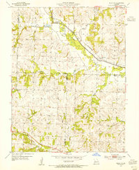
1954 Quick City
Johnson County, MO
1955 Burtville
Johnson County, MO
1955 Cornelia
Johnson County, MO
1962 Elm
Johnson County, MO
1962 Warrensburg East
Johnson County, MO
1962 Warrensburg West
Johnson County, MO
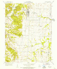
1963 Pittsville
Johnson County, MO
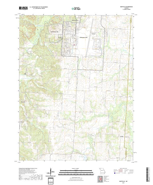
2021 Burtville
Johnson County, MO
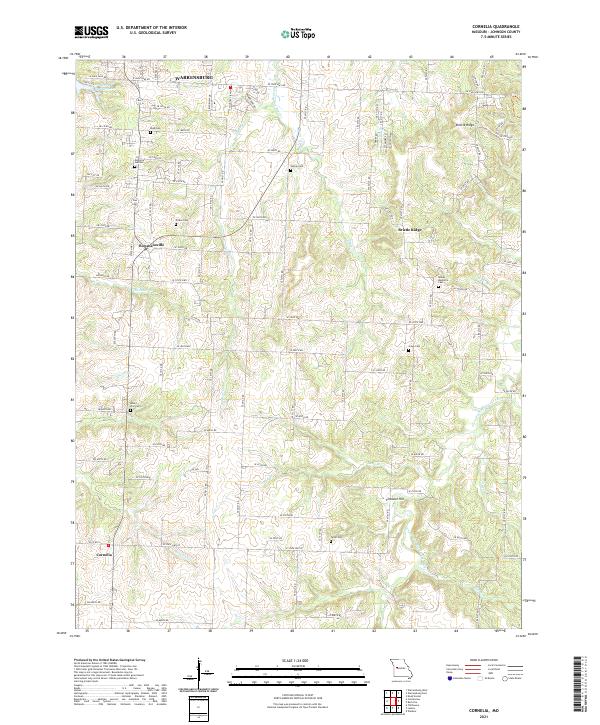
2021 Cornelia
Johnson County, MO
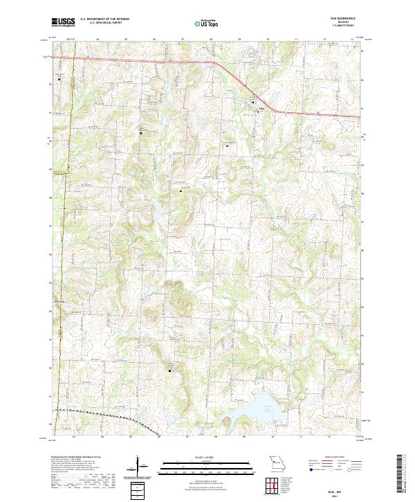
2021 Elm
Johnson County, MO
2021 Pittsville
Johnson County, MO
2021 Quick City
Johnson County, MO
2021 Warrensburg East
Johnson County, MO
2021 Warrensburg West
Johnson County, MO