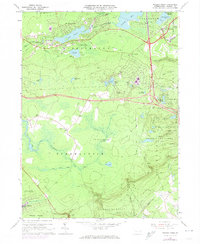
1966 Map of Pocono Pines
USGS Topo · Published 1974About this map
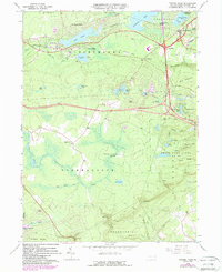
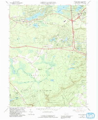
Pocono Pines and surrounding resort communities showcase the mid-century development of the Poconos as a premier vacation and residential hub. This 1966 survey, with purple-ink revisions from the early 1970s, captures the expansion of Lake Naomi Estates and Stillwater Lake Estates alongside established settlements like Pocono Summit. The landscape is a mix of managed forest and water, dominated by Lake Naomi and the State Game Lands No 127. Transport infrastructure plays a vital role in this era's growth, featuring the Erie-Lackawanna railroad line and the emergence of modern highway interchanges. Genealogists and local historians can trace specific residential blocks and landmarks such as the St Joan of Arc church and various cemeteries, while topography enthusiasts can follow the winding course of Tunkhannock Creek through the Tobyhanna and Chestnuthill boundaries.
Find a feature on this map
57 named features on this map. Tap any name to fly to it.
Don’t see what you’re looking for? This feature index may not catch every label — zoom into the map to look around manually.
Map Details
Editions of this 1966 Pocono Pines Map
6 editions found
Other maps of this area

1914 · Wind Gap
USGS Topo · 1:62,500

1916 · Wind Gap
USGS Topo · 1:62,500

1919 · Pocono
USGS Topo · 1:62,500

1921 · Pocono
USGS Topo · 1:62,500

1922 · Mauch Chunk
USGS Topo · 1:62,500

1922 · Stoddartsville
USGS Topo · 1:62,500

1923 · Pocono
USGS Topo · 1:62,500

1924 · Stoddartsville
USGS Topo · 1:62,500

1924 · Mauch Chunk
USGS Topo · 1:62,500

1943 · Scranton
USGS Topo · 1:125,000
Featured Places
- Pocono Pines, Tobyhanna Township
- Pocono Pines, Tobyhanna Township
- Long Pond, Tunkhannock Township
- Chestnuthill Township, PA
- Tobyhanna Township, PA