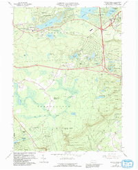
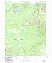
1966 Map of Pocono Pines
USGS Topo · Published 1992About this map
Pocono Pines and the surrounding resort communities are captured here in a period of significant recreational and residential expansion across the high plateaus of Monroe County. The landscape is defined by its numerous glacial lakes and engineered reservoirs, including the expansive Lake Naomi, Stillwater Lake, and the residential developments at Pocono Summit Estates. This 1966 field-checked survey preserves the layout of the area as it transitioned from early 20th-century seasonal retreats into more permanent mountain enclaves.
Find a feature on this map
68 named features on this map. Tap any name to fly to it.
Don’t see what you’re looking for? This feature index may not catch every label — zoom into the map to look around manually.
Map Details
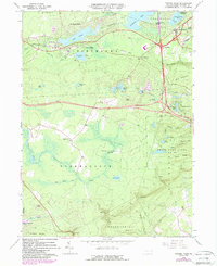
Editions of this 1966 Pocono Pines Map
6 editions found
Other maps of this area

1914 · Wind Gap
USGS Topo · 1:62,500

1916 · Wind Gap
USGS Topo · 1:62,500

1919 · Pocono
USGS Topo · 1:62,500

1921 · Pocono
USGS Topo · 1:62,500

1922 · Mauch Chunk
USGS Topo · 1:62,500

1922 · Stoddartsville
USGS Topo · 1:62,500

1923 · Pocono
USGS Topo · 1:62,500

1924 · Stoddartsville
USGS Topo · 1:62,500

1924 · Mauch Chunk
USGS Topo · 1:62,500

1943 · Scranton
USGS Topo · 1:125,000
Featured Places
- Pocono Pines, Tobyhanna Township
- Pocono Pines, Tobyhanna Township
- Long Pond, Tunkhannock Township
- Chestnuthill Township, PA
- Tobyhanna Township, PA