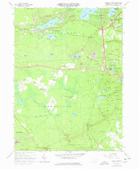
1966 Map of Pocono Pines
USGS Topo · Published 1977About this map
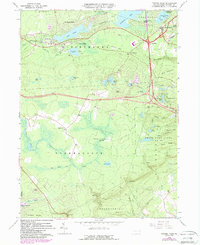
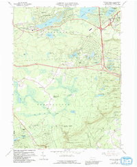
Lake Naomi and the developing resort communities of the Pocono Plateau define this mid-1960s landscape. The map illustrates the transition from traditional mountain settlements to planned recreational enclaves, with Lake Naomi Estates and Stillwater Lake Estates carving residential grids out of the heavy timber and wetlands. The local economy and transport history are visible in the path of the Erie-Lackawanna line and an abandoned Old Railroad Grade that once served the region's logging and ice industries.
Find a feature on this map
60 named features on this map. Tap any name to fly to it.
Don’t see what you’re looking for? This feature index may not catch every label — zoom into the map to look around manually.
Map Details
Editions of this 1966 Pocono Pines Map
6 editions found
Other maps of this area

1914 · Wind Gap
USGS Topo · 1:62,500

1916 · Wind Gap
USGS Topo · 1:62,500

1919 · Pocono
USGS Topo · 1:62,500

1921 · Pocono
USGS Topo · 1:62,500

1922 · Mauch Chunk
USGS Topo · 1:62,500

1922 · Stoddartsville
USGS Topo · 1:62,500

1923 · Pocono
USGS Topo · 1:62,500

1924 · Stoddartsville
USGS Topo · 1:62,500

1924 · Mauch Chunk
USGS Topo · 1:62,500

1943 · Scranton
USGS Topo · 1:125,000
Featured Places
- Pocono Pines, Tobyhanna Township
- Pocono Pines, Tobyhanna Township
- Long Pond, Tunkhannock Township
- Chestnuthill Township, PA
- Tobyhanna Township, PA