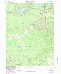
1966 Map of Pocono Pines
USGS Topo · Published 1984About this map
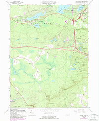
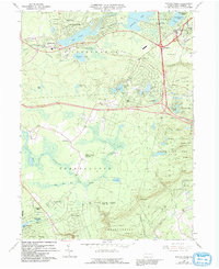
Pocono Pines and the surrounding resort communities of the Pocono Plateau are captured here during a period of significant residential expansion. The map details the emergence of vacation-oriented subdivisions such as Lake Naomi Estates, Stillwater Lake Estates, and Pocono Summit Estates, which grew around established water bodies like Lake Naomi and Stillwater Lake. While the north is defined by these burgeoning estates and leisure features like the local Golf Course, the southern portion remains largely dominated by the natural landscape of State Game Lands No 38 and the Delaware State Forest. Evidence of the area's industrial past and transition persists in the Old Railroad Grade and Old RR Grade, which cross the terrain alongside modern infrastructure like Interchange 8. Landmarks such as the St Joan of Arc Ch and various local Cemeteries provide essential points for genealogical research.
Find a feature on this map
61 named features on this map. Tap any name to fly to it.
Don’t see what you’re looking for? This feature index may not catch every label — zoom into the map to look around manually.
Map Details
Editions of this 1966 Pocono Pines Map
6 editions found
Other maps of this area

1914 · Wind Gap
USGS Topo · 1:62,500

1916 · Wind Gap
USGS Topo · 1:62,500

1919 · Pocono
USGS Topo · 1:62,500

1921 · Pocono
USGS Topo · 1:62,500

1922 · Mauch Chunk
USGS Topo · 1:62,500

1922 · Stoddartsville
USGS Topo · 1:62,500

1923 · Pocono
USGS Topo · 1:62,500

1924 · Stoddartsville
USGS Topo · 1:62,500

1924 · Mauch Chunk
USGS Topo · 1:62,500

1943 · Scranton
USGS Topo · 1:125,000
Featured Places
- Pocono Pines, Tobyhanna Township
- Pocono Pines, Tobyhanna Township
- Long Pond, Tunkhannock Township
- Chestnuthill Township, PA
- Tobyhanna Township, PA