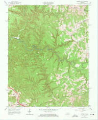
1966 Map of Pomeroyton
USGS Topo · Published 1974About this map
The Red River carves a deep path through the Daniel Boone National Forest on this 1966 topographic survey of eastern Kentucky. This area, spanning the borders of Wolfe, Menifee, and Morgan Counties, is defined by its dramatic geological formations and numerous sandstone spans. Distinctive landmarks like Cloud Splitter, Sky Bridge, and Princess Arch highlight the complex terrain of the Osborne Bend and Pine Mountain Ridge.
Find a feature on this map
90 named features on this map. Tap any name to fly to it.
Don’t see what you’re looking for? This feature index may not catch every label — zoom into the map to look around manually.
Map Details
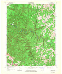
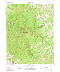
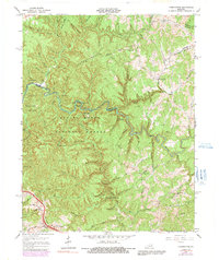
Editions of this 1966 Pomeroyton Map
4 editions found
Other maps of this area

1889 · Salyersville
USGS Topo · 1:125,000

1891 · Salyersville
USGS Topo · 1:125,000

1892 · Beattyville
USGS Topo · 1:125,000

1899 · Salyersville
USGS Topo · 1:125,000

1951 · Landsaw
USGS Topo · 1:24,000

1951 · Ezel
USGS Topo · 1:24,000

1951 · Hazel Green
USGS Topo · 1:24,000

1951 · Pomeroyton
USGS Topo · 1:24,000

1952 · Scranton
USGS Topo · 1:24,000

1952 · Frenchburg
USGS Topo · 1:24,000