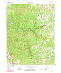
1966 Map of Pomeroyton
USGS Topo · Published 1978About this map
Daniel Boone National Forest dominates this landscape, where the deeply carved channel of the Red River creates a labyrinthine network of ridges and arches. The 1978 revision highlights the arrival of modern transportation via the Bert T Combs Mountain Parkway and the Pine Ridge Interchange, cutting through the southwestern corner near Pine Mountain. This infrastructure stands in contrast to the traditional mountain settlements of Pomeroyton and Valeria, which are defined by their proximity to winding waterways like Stillwater Creek and Calaboose Creek.
Find a feature on this map
96 named features on this map. Tap any name to fly to it.
Don’t see what you’re looking for? This feature index may not catch every label — zoom into the map to look around manually.
Map Details
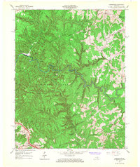
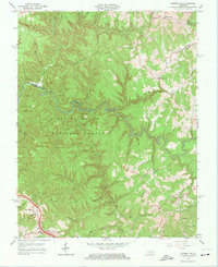
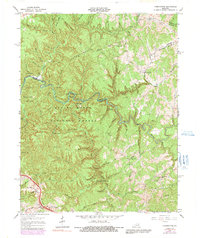
Editions of this 1966 Pomeroyton Map
4 editions found
Other maps of this area

1889 · Salyersville
USGS Topo · 1:125,000

1891 · Salyersville
USGS Topo · 1:125,000

1892 · Beattyville
USGS Topo · 1:125,000

1899 · Salyersville
USGS Topo · 1:125,000

1951 · Landsaw
USGS Topo · 1:24,000

1951 · Ezel
USGS Topo · 1:24,000

1951 · Hazel Green
USGS Topo · 1:24,000

1951 · Pomeroyton
USGS Topo · 1:24,000

1952 · Scranton
USGS Topo · 1:24,000

1952 · Frenchburg
USGS Topo · 1:24,000