
1907 Map of Pontiac
USGS Topo · Published 1907About this map
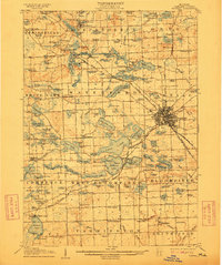
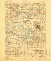
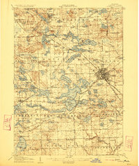
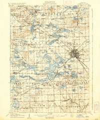
Pontiac serves as the focal point of this 1907 topographical study, emerging as a significant rail and transit hub where the Grand Trunk R R intersects with the Detroit and Pontiac Electric R R. The landscape is defined by an intricate network of glacial lakes and developing institutional sites, including a prominent Asylum, the Oakland County Home, and a Military Academy located near Orchard Lake.
Find a feature on this map
168 named features on this map. Tap any name to fly to it.
Don’t see what you’re looking for? This feature index may not catch every label — zoom into the map to look around manually.
Map Details
Editions of this 1907 Pontiac Map
5 editions found
Other maps of this area

1902 · South Lyon
USGS Topo · 1:62,500

1904 · Ann Arbor
USGS Topo · 1:125,000

1905 · Wayne
USGS Topo · 1:62,500

1905 · Detroit
USGS Topo · 1:62,500

1906 · South Lyon
USGS Topo · 1:62,500

1908 · Ann Arbor
USGS Topo · 1:125,000

1908 · Rochester
USGS Topo · 1:62,500

1909 · Milford
USGS Topo · 1:62,500

1912 · Wayne
USGS Topo · 1:62,500

1918 · Detroit
USGS Topo · 1:62,500