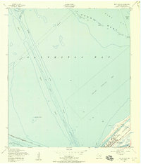
1954 Map of Port Bolivar
USGS Topo · Published 1958About this map
Port Bolivar sits at the tip of the Bolivar Peninsula, serving as a critical maritime anchor in this mid-century survey. The map details a complex web of deep-water navigation and industrial infrastructure, dominated by the Houston Ship Channel and the Intracoastal Waterway. These man-made corridors are surrounded by extensive Spoil Areas, illustrating the continuous dredging required to maintain Galveston's shipping lanes.
Find a feature on this map
17 named features on this map. Tap any name to fly to it.
Don’t see what you’re looking for? This feature index may not catch every label — zoom into the map to look around manually.
Map Details
Editions of this 1954 Port Bolivar Map
4 editions found
Other maps of this area

1929 · Virginia Point
USGS Topo · 1:24,000

1929 · Texas City
USGS Topo · 1:24,000

1930 · Galveston
USGS Topo · 1:24,000

1931 · Flake
USGS Topo · 1:24,000

1932 · Clifton By The Sea
USGS Topo · 1:31,680

1932 · Texas City
USGS Topo · 1:31,680

1932 · Bolivar Point
USGS Topo · 1:24,000

1932 · Virginia Point
USGS Topo · 1:31,680

1933 · The Jetties
USGS Topo · 1:31,680

1933 · Whites Lake
USGS Topo · 1:31,680