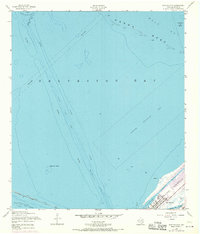
1954 Map of Port Bolivar
USGS Topo · Published 1970About this map
The Bolivar Peninsula forms a slender gateway into the vast maritime network of Galveston Bay in this mid-century topographic record. At the tip of the landform lies Port Bolivar, showing a concentrated grid of streets and structures alongside an Old Railroad Grade that speaks to the area's earlier logistical importance. The surrounding waters are dominated by industrial and navigation features, including the deep-draft Houston Ship Channel and the protected Intracoastal Waterway cutting through the shoreline. Natural features like Horseshoe Lake and Oyster Lake provide contrast to the extensive Spoil Area and Pipeline Area notations that document the intensive modification of the bay floor. The map also delineates a large Seaplane Restricted Area and several dangerous hazards to navigation, such as Hann A Reef and the prominent Halfmoon Shoal.
Find a feature on this map
21 named features on this map. Tap any name to fly to it.
Don’t see what you’re looking for? This feature index may not catch every label — zoom into the map to look around manually.
Map Details
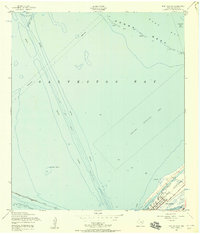
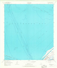
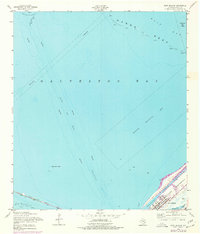
Editions of this 1954 Port Bolivar Map
4 editions found
Other maps of this area

1929 · Virginia Point
USGS Topo · 1:24,000

1929 · Texas City
USGS Topo · 1:24,000

1930 · Galveston
USGS Topo · 1:24,000

1931 · Flake
USGS Topo · 1:24,000

1932 · Clifton By The Sea
USGS Topo · 1:31,680

1932 · Texas City
USGS Topo · 1:31,680

1932 · Bolivar Point
USGS Topo · 1:24,000

1932 · Virginia Point
USGS Topo · 1:31,680

1933 · The Jetties
USGS Topo · 1:31,680

1933 · Whites Lake
USGS Topo · 1:31,680