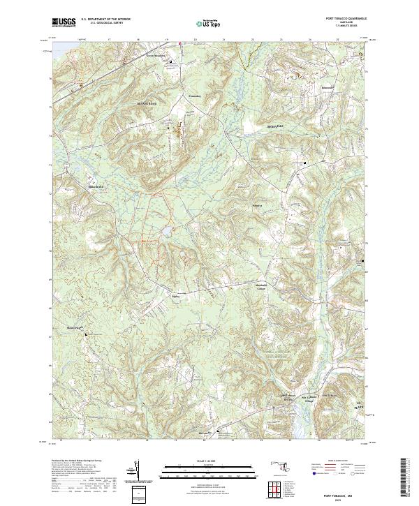
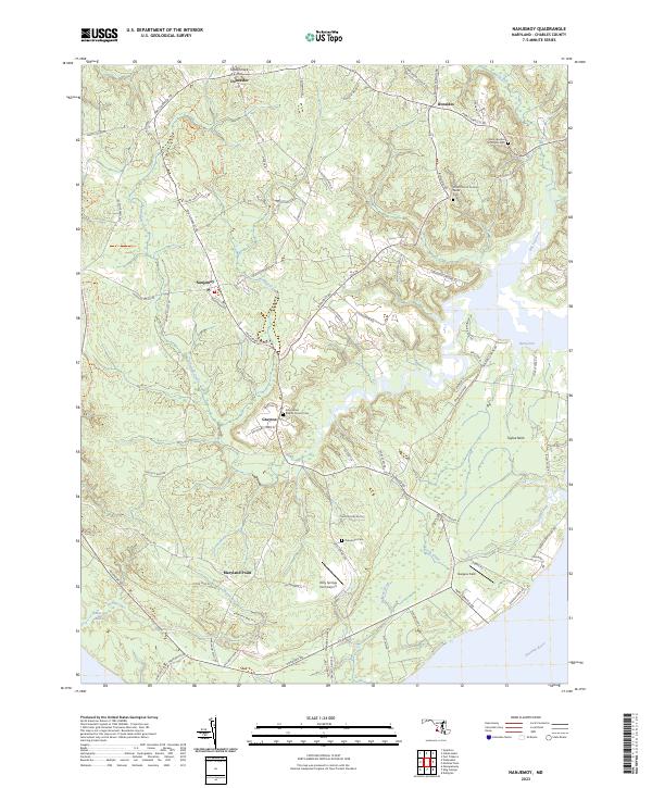
2023 Map of Port Tobacco
USGS Topo · Published 2023About this map
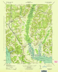
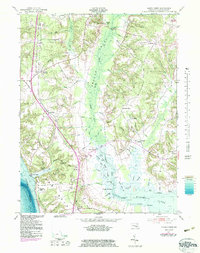
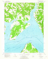
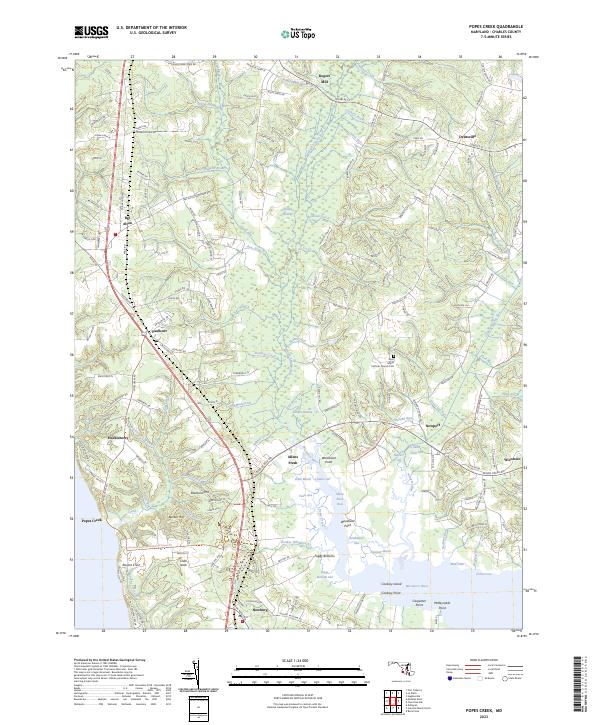
The Thomas Stone Natl Historic Site stands as a central landmark in this 2023 survey of Charles County, marking the home of one of the signers of the Declaration of Independence. The landscape around Port Tobacco Village and Port Tobacco Riviera illustrates the deep colonial roots of the region, where the tidal Port Tobacco Creek meets the Potomac shoreline. To the north, the transition from rural crossroads like Pomonkey and Pomfret to more developed residential areas around Bryans Road and La Plata is evident.
Find a feature on this map
48 named features on this map. Tap any name to fly to it.
Don’t see what you’re looking for? This feature index may not catch every label — zoom into the map to look around manually.
Map Details
Editions of this 2023 Port Tobacco Map
This is the sole edition of this map. No revisions or reprints were ever made.
Historical Maps of Valley View Through Time
25 maps found

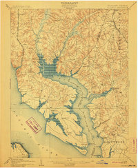
1894 Wicomico
Charles County, MD

1895 Wicomico
Charles County, MD
1902 Wicomico
Charles County, MD

1911 Wicomico
Charles County, MD
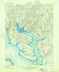
1914 Wicomico
Charles County, MD

1920 Wicomico
Charles County, MD
1943 Morgantown
Charles County, MD
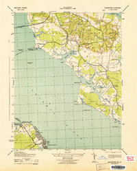
1943 Popes Creek
Charles County, MD
1943 Stratford
Charles County, MD
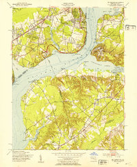
1944 Port Tobacco
Charles County, MD
1946 Stratford
Charles County, MD
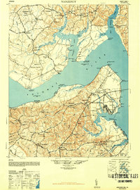
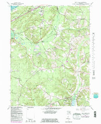
1948 Nanjemoy
Charles County, MD
1951 Mt Vernon
Charles County, MD
1951 Port Tobacco
Charles County, MD
1953 Morgantown
Charles County, MD
1953 Popes Creek
Charles County, MD
1954 Mathias Point
Charles County, MD
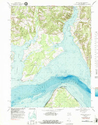
1954 Nanjemoy
Charles County, MD
1956 Port Tobacco
Charles County, MD
1966 Port Tobacco
Charles County, MD
1968 Mathias Point
Charles County, MD
1982 Mathias Point
Charles County, MD
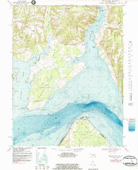
2023 Nanjemoy
Charles County, MD
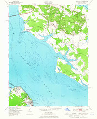
2023 Popes Creek
Charles County, MD
2023 Port Tobacco
Charles County, MD