
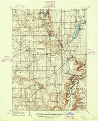
1905 Map of Portage
USGS Topo · Published 1905About this map
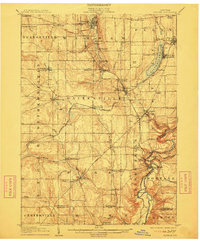
The Genesee River carves a dramatic path through Wyoming County on this 1905 survey, most notably at the series of cataracts near Portageville. This area, including the Upper Fall, Middle Falls, and Lower Falls, provides a focal point for the eastern half of the map where the river's deep gorge begins to define the landscape. To the north, Silver Lake serves as a distinct hub for recreation and community at the Silver Lake Assembly, while nearby Perry and Castile show established residential growth.
Find a feature on this map
83 named features on this map. Tap any name to fly to it.
Don’t see what you’re looking for? This feature index may not catch every label — zoom into the map to look around manually.
Map Details
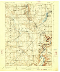
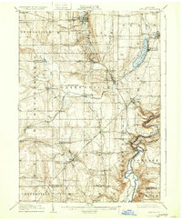
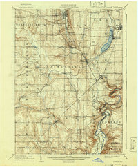
Editions of this 1905 Portage Map
6 editions found
Other maps of this area

1904 · Batavia
USGS Topo · 1:62,500

1904 · Caledonia
USGS Topo · 1:62,500

1905 · Attica
USGS Topo · 1:62,500

1905 · Nunda
USGS Topo · 1:62,500

1906 · Angelica
USGS Topo · 1:62,500

1916 · Canaseraga
USGS Topo · 1:62,500

1923 · Arcade
USGS Topo · 1:62,500

1924 · Franklinville
USGS Topo · 1:62,500

1925 · Arcade
USGS Topo · 1:62,500

1940 · Canaseraga
USGS Topo · 1:62,500