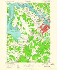
1956 Map of Portsmouth
USGS Topo · Published 1963About this map
Pease Air Force Base dominates the center of this coastal landscape, illustrating the significant mid-century military footprint in New Hampshire. Surrounding the base, the established urban core of Portsmouth and residential developments like Pannaway Manor and Meadowbrook show a community expanding alongside major transit corridors. The Boston and Maine Railroad and the newly revised Spaulding Turnpike link the regional centers of Dover, Kittery, and Greenland, while older routes like Lafayette Road connect family-named landmarks such as Breakfast Hill and Winnicut Mills. Along the shoreline, the map details the intricate tidal geography of the Piscataqua River and Great Bay, reaching down to Rye Harbor. Numerous local institutions, including Eliot High Sch and St Marys Cem, provide essential anchor points for genealogists tracing 20th-century family locations in Rockingham and York Counties.
Find a feature on this map
91 named features on this map. Tap any name to fly to it.
Don’t see what you’re looking for? This feature index may not catch every label — zoom into the map to look around manually.
Map Details
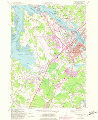
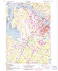
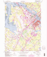
Editions of this 1956 Portsmouth Map
4 editions found
Other maps of this area

1888 · Newburyport
USGS Topo · 1:62,500

1890 · Newburyport
USGS Topo · 1:62,500

1893 · Dover
USGS Topo · 1:62,500

1893 · York
USGS Topo · 1:62,500

1894 · Newburyport
USGS Topo · 1:62,500

1916 · Dover
USGS Topo · 1:62,500

1918 · Dover
USGS Topo · 1:62,500

1920 · York
USGS Topo · 1:62,500

1932 · Newburyport
USGS Topo · 1:48,000

1934 · Exeter
USGS Topo · 1:62,500