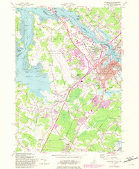
1956 Map of Portsmouth
USGS Topo · Published 1981About this map
Portsmouth stands at a critical junction of New England history where the Piscataqua River meets the sea, anchoring a landscape that bridges New Hampshire and Maine. The mid-century expansion of the Pease Air Force Base dominates the western interior, signaling a massive shift from the area's maritime and agricultural roots to modern strategic defense. Historic residential pockets like Christian Shore and Atlantic Heights contrast with newer developments such as Pannaway Manor and Meadowbrook, reflecting the post-war suburban surge. Along the waterfront, the infrastructure of the Boston and Maine Railroad and the Memorial Bridge maintain the region's long-standing role as a transportation hub. Local genealogy is well-documented through numerous family and community sites, from the Mathes Cem near the Oyster River to the South Street Cemetery, while the rural character of Newington and Rye persists through landmarks like Breakfast Hill and Winnieut Mills.
Find a feature on this map
139 named features on this map. Tap any name to fly to it.
Don’t see what you’re looking for? This feature index may not catch every label — zoom into the map to look around manually.
Map Details
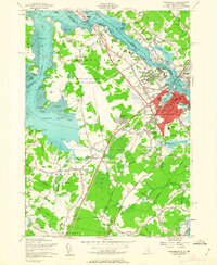
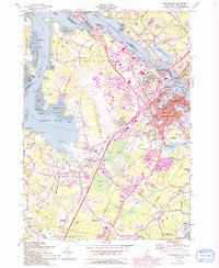
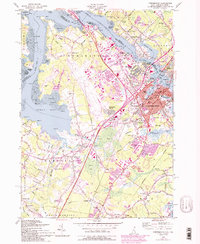
Editions of this 1956 Portsmouth Map
4 editions found
Other maps of this area

1888 · Newburyport
USGS Topo · 1:62,500

1890 · Newburyport
USGS Topo · 1:62,500

1893 · Dover
USGS Topo · 1:62,500

1893 · York
USGS Topo · 1:62,500

1894 · Newburyport
USGS Topo · 1:62,500

1916 · Dover
USGS Topo · 1:62,500

1918 · Dover
USGS Topo · 1:62,500

1920 · York
USGS Topo · 1:62,500

1932 · Newburyport
USGS Topo · 1:48,000

1934 · Exeter
USGS Topo · 1:62,500