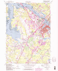
1956 Map of Portsmouth
USGS Topo · Published 1994About this map
The Piscataqua River serves as the focal point of this coastal landscape, dividing New Hampshire and Maine at a time of significant postwar expansion. The city of Portsmouth is shown in detail, showing neighborhoods like Christian Shore and Meadowbrook alongside the industrial and maritime infrastructure of the harbor, including the Memorial Bridge and Badgers I. To the west, the rural character of Newington and Greenland is increasingly influenced by the development of the New Hampshire Turnpike and the Spaulding Turnpike.
Find a feature on this map
113 named features on this map. Tap any name to fly to it.
Don’t see what you’re looking for? This feature index may not catch every label — zoom into the map to look around manually.
Map Details
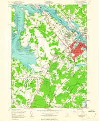
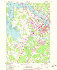
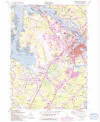
Editions of this 1956 Portsmouth Map
4 editions found
Other maps of this area

1888 · Newburyport
USGS Topo · 1:62,500

1890 · Newburyport
USGS Topo · 1:62,500

1893 · Dover
USGS Topo · 1:62,500

1893 · York
USGS Topo · 1:62,500

1894 · Newburyport
USGS Topo · 1:62,500

1916 · Dover
USGS Topo · 1:62,500

1918 · Dover
USGS Topo · 1:62,500

1920 · York
USGS Topo · 1:62,500

1932 · Newburyport
USGS Topo · 1:48,000

1934 · Exeter
USGS Topo · 1:62,500