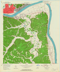
1953 Map of Portsmouth
USGS Topo · Published 1965About this map
The Ohio River forms a wide curve separating the industrial centers of southern Ohio from the rural ridges of Greenup County, Kentucky, in the mid-1950s. On the northern bank, the dense urban grid of Portsmouth is characterized by its rail yards, including the N & W and B & O lines, and historical landmarks like Mound Park. Across the water, connected by the U S Grant Bridge, the landscape shifts toward the winding course of Tygarts Creek. This area is dotted with small hilltop and valley settlements such as South Shore, Fullerton, and the community of Limeville (Tongs PO). The Kentucky side reveals a network of country schools and churches, from Plum Fork Sch to New Bethlehem Ch, highlighting the dispersed social life of these river-valley communities. Further inland, inactive clay pits and scattered cemeteries suggest the early industrial and family histories carved into the local topography.
Find a feature on this map
79 named features on this map. Tap any name to fly to it.
Don’t see what you’re looking for? This feature index may not catch every label — zoom into the map to look around manually.
Map Details
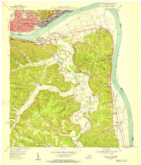
Editions of this 1953 Portsmouth Map
2 editions found
Other maps of this area

1911 · Sciotoville
USGS Topo · 1:62,500

1913 · Sciotoville
USGS Topo · 1:62,500

1915 · Garrison
USGS Topo · 1:62,500

1915 · Otway
USGS Topo · 1:62,500

1917 · Otway
USGS Topo · 1:62,500

1918 · Garrison
USGS Topo · 1:62,500

1926 · Greenup
USGS Topo · 1:48,000

1930 · Greenup
USGS Topo · 1:62,500

1949 · Friendship
USGS Topo · 1:24,000

1949 · Brushart
USGS Topo · 1:24,000