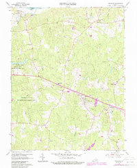
1966 Map of Powhatan
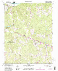
USGS Topo · Published 1987About this map
Powhatan stands as the central hub of this mid-1960s landscape, positioned amidst a network of small settlements like Macon, Stegers, and Provost. The northern boundary is defined by the James River, where institutions like the St Emma Military Academy and St Francis de Sales Sch were established on the bluffs overlooking the water. Much of the western portion of the quadrangle is dedicated to the Powhatan State Wildlife Management Area, featuring the Powhatan Lakes and a complex drainage system including Salmon Creek and Sallee Creek. Educational and civic life is well-documented through labels for the Pocahontas High Sch, Huguenot Academy, and various rural landmarks such as the Lookout Tower and a local Airstrip. The map effectively preserves the mid-century layout of these Piedmont communities before modern development altered the rural character of the region.
Find a feature on this map
39 named features on this map. Tap any name to fly to it.
Don’t see what you’re looking for? This feature index may not catch every label — zoom into the map to look around manually.
Map Details
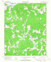
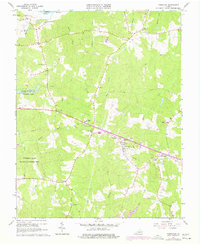
Editions of this 1966 Powhatan Map
4 editions found
Other maps of this area

1890 · Goochland
USGS Topo · 1:125,000

1891 · Palmyra
USGS Topo · 1:125,000

1891 · Farmville
USGS Topo · 1:125,000

1892 · Goochland
USGS Topo · 1:125,000

1893 · Farmville
USGS Topo · 1:125,000

1895 · Palmyra
USGS Topo · 1:125,000

1897 · Amelia
USGS Topo · 1:125,000

1897 · Palmyra
USGS Topo · 1:125,000

1943 · Goochland
USGS Topo · 1:31,680

1943 · Fine Creek Mills
USGS Topo · 1:31,680