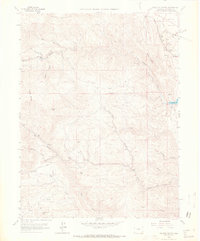
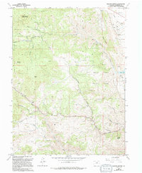
1965 Map of Ralston Buttes
USGS Topo · Published 1967About this map
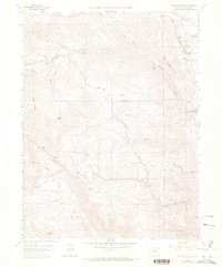
Ralston Buttes and the surrounding high country of Jefferson County define this mid-1960s landscape, where mining and ranching intersect with a network of steep canyons and gulches. The terrain is marked by significant resource extraction, including a Quarry near Deer Creek and numerous prospects scattered along the ridges. Water management and transportation are central to the area's development, evidenced by the Ralston Res and the tracks of the Denver and Rio Grande Western cutting through the northeast near Rocky Flats. Small centers of activity like Ralston Creek Ranch and Guy Hill serve as local landmarks amidst the steep slopes of Belcher Hill and Mount Tom. The map provides a look at the early infrastructure of Golden Gate Canyon and the surrounding creek systems including Van Bibber Creek and Tucker Gulch, long before modern suburban expansion reached these foothills.
Find a feature on this map
30 named features on this map. Tap any name to fly to it.
Don’t see what you’re looking for? This feature index may not catch every label — zoom into the map to look around manually.
Map Details
Editions of this 1965 Ralston Buttes Map
9 editions found
Other maps of this area

1899 · West Denver
USGS Topo · 1:125,000

1906 · Blackhawk
USGS Topo · 1:62,500

1938 · Morrison
USGS Topo · 1:24,000

1939 · Golden
USGS Topo · 1:24,000

1942 · Eldorado Springs
USGS Topo · 1:24,000

1942 · Morrison
USGS Topo · 1:31,680

1942 · Golden
USGS Topo · 1:31,680

1942 · Louisville
USGS Topo · 1:31,680

1942 · Tungsten
USGS Topo · 1:24,000

1942 · Black Hawk
USGS Topo · 1:24,000