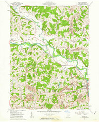
1962 Map of Randle
USGS Topo · Published 1963About this map
Walhonding River and Killbuck Creek converge in this mid-century topographic study, defining the agricultural and industrial landscape west of Coshocton. The map illustrates a region transitioning away from its rail-dependent past, dominated by an Abandoned railroad line and an Old Railroad Grade that trace the river valleys. Local spiritual life is anchored by landmarks like the House of Jacob Tabernacle and Prairie Chapel, while the presence of numerous Oil Wells, Gas Wells, and prominent strip mines in the southeast corner near Jackson township reveals the area's heavy reliance on resource extraction.
Find a feature on this map
41 named features on this map. Tap any name to fly to it.
Don’t see what you’re looking for? This feature index may not catch every label — zoom into the map to look around manually.
Map Details
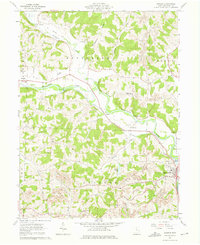
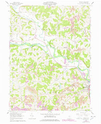
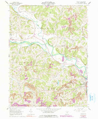
Editions of this 1962 Randle Map
4 editions found
Other maps of this area

1908 · Conesville
USGS Topo · 1:62,500

1910 · Frazeysburg
USGS Topo · 1:62,500

1910 · Conesville
USGS Topo · 1:62,500

1913 · Brinkhaven
USGS Topo · 1:62,500

1913 · Coshocton
USGS Topo · 1:62,500

1915 · Brinkhaven
USGS Topo · 1:62,500

1915 · Coshocton
USGS Topo · 1:62,500

1943 · Coshocton
USGS Topo · 1:62,500

1950 · Marion
USGS Topo · 1:250,000

1951 · Canton
USGS Topo · 1:250,000