Loading...
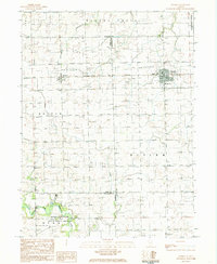
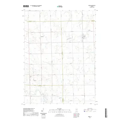
Loading map...1984 Map of Rankin
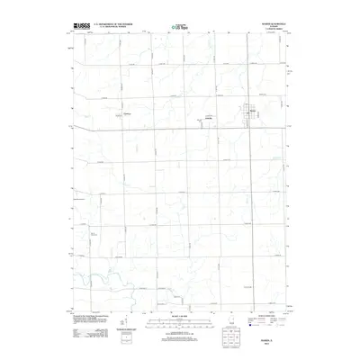
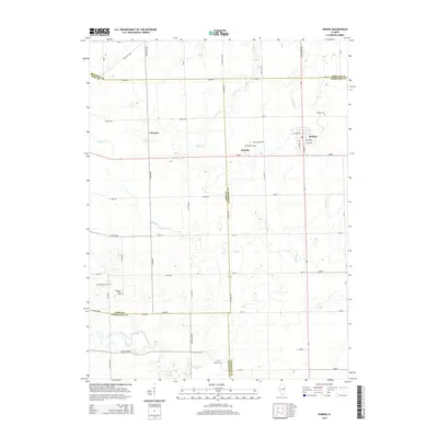
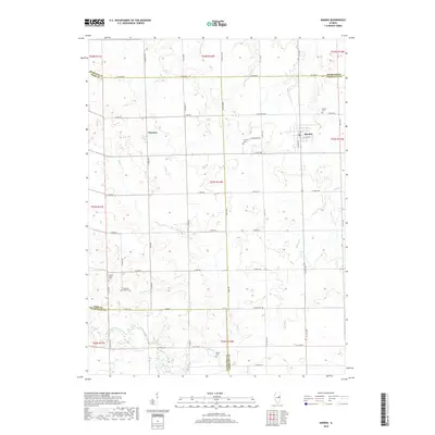
USGS Topo · Published 1985About this map
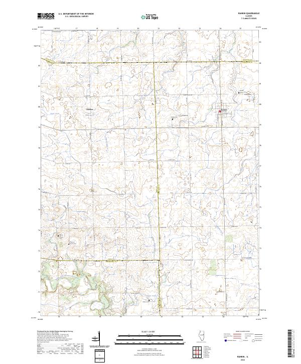
Rankin serves as the primary hub of this East Central Illinois landscape, situated at the intersection of the Norfolk and Western railroad and regional roadways. The village is well-documented, featuring its City Hall, a High Sch, and a local Trailer Park. To the west, the smaller settlement of Clarence sits along the same rail line, while the southern reaches of the quadrangle transition into the protected lands of the Middle Fork Vermilion River County Forest Preserve.
Find a feature on this map
26 named features on this map. Tap any name to fly to it.
Don’t see what you’re looking for? This feature index may not catch every label — zoom into the map to look around manually.
Map Details
Date Portrayed1984
Date Published1985
PublisherU.S. Geological Survey
Map TypeTopographic
Scale1:24,000
Physical Dimensions22 x 26.8 inches
Editions of this 1984 Rankin Map
This is the sole edition of this map. No revisions or reprints were ever made.
Historical Maps of Rankin Through Time
6 maps found
Featured Locations
Source Details
SourceU.S. Geological Survey
CopyrightPublic Domain