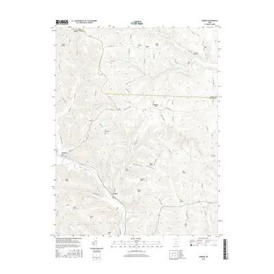
2016 Map of Rarden
USGS Topo · Published 2016About this map
Scioto Brush Creek and its many tributaries, such as Thompson Run and Sugarcamp Run, carve through this section of the Appalachian Plateau along the border of Pike and Scioto Counties. The village of Rarden serves as the primary hub in the southwest, where Main St and High St meet near the banks of Jessie Run. The topography is defined by prominent ridges and family-named landmarks, including Ladd Ridge, Penn Ridge, and Hoffer Hill.
Find a feature on this map
94 named features on this map. Tap any name to fly to it.
Don’t see what you’re looking for? This feature index may not catch every label — zoom into the map to look around manually.
Map Details
Editions of this 2016 Rarden Map
This is the sole edition of this map. No revisions or reprints were ever made.
Other maps of this area

1915 · Bainbridge
USGS Topo · 1:48,000

1915 · Otway
USGS Topo · 1:62,500

1915 · Piketon
USGS Topo · 1:62,500

1916 · Peebles
USGS Topo · 1:62,500

1917 · Bainbridge
USGS Topo · 1:62,500

1917 · Piketon
USGS Topo · 1:62,500

1917 · Otway
USGS Topo · 1:62,500

1918 · Peebles
USGS Topo · 1:62,500

1944 · Piketon
USGS Topo · 1:62,500

1947 · Columbus
USGS Topo · 1:250,000