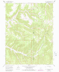
1966 Map of Rat Hole Ridge
USGS Topo · Published 1987About this map
Atchee Ridge and Rat Hole Ridge dominate this high-desert landscape along the border of Utah and Colorado, where the terrain is defined by a dense network of steep drainages. The area's mid-century ranching and resource activity is evidenced by the presence of Cow Camp near the headwaters of Bitter Creek and an isolated Drill Hole in the western canyons. This 1966 survey, later updated in the 1980s, reveals a remote territory primarily navigated by a system of trails and jeep trails that follow the natural contours of the ridges and canyon floors. Notable named watercourses and topographic features like Lone Spring Ridge, Weatherbee Canyon, and Whiskey Creek illustrate a landscape where water and high ground dictated human movement and nomenclature in the eastern Uintah Basin region.
Find a feature on this map
32 named features on this map. Tap any name to fly to it.
Don’t see what you’re looking for? This feature index may not catch every label — zoom into the map to look around manually.
Map Details
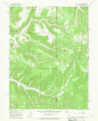
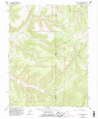
Editions of this 1966 Rat Hole Ridge Map
3 editions found
Other maps of this area

1885 · East Tavaputs
USGS Topo · 1:250,000

1956 · Grand Junction
USGS Topo · 1:250,000

1959 · Grand Junction
USGS Topo · 1:250,000

1960 · Grand Junction
USGS Topo · 1:250,000

1962 · Grand Junction
USGS Topo · 1:250,000

1964 · Grand Junction
USGS Topo · 1:250,000

1964 · East Evacuation Creek
USGS Topo · 1:24,000

1964 · Baxter Pass
USGS Topo · 1:24,000

1965 · Grand Junction
USGS Topo · 1:250,000

1966 · Tom Patterson Canyon
USGS Topo · 1:24,000