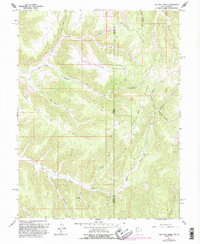
1966 Map of Rat Hole Ridge
USGS Topo · Published 1995About this map
Atchee Ridge and Rat Hole Ridge dominate this high-desert landscape along the Utah-Colorado border, where deep, branching canyons define the movement of water and travelers alike. The 1960s survey illustrates a region largely shaped by its topography, with seasonal drainages like Bitter Creek and Whiskey Creek cutting through the plateaus. Evidence of the mid-century ranching and resource economy is visible in the presence of Cow Camp and a specific Drill Hole, alongside a network of 4WD tracks that follow the natural contours of the ridges. Personal and descriptive landmarks such as Lone Spring and Tony Canyon provide specific points of reference for local historians and genealogists tracking land use across the Uintah and Garfield county line.
Find a feature on this map
33 named features on this map. Tap any name to fly to it.
Don’t see what you’re looking for? This feature index may not catch every label — zoom into the map to look around manually.
Map Details
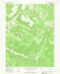
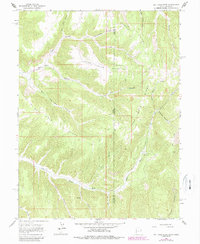
Editions of this 1966 Rat Hole Ridge Map
3 editions found
Other maps of this area

1885 · East Tavaputs
USGS Topo · 1:250,000

1956 · Grand Junction
USGS Topo · 1:250,000

1959 · Grand Junction
USGS Topo · 1:250,000

1960 · Grand Junction
USGS Topo · 1:250,000

1962 · Grand Junction
USGS Topo · 1:250,000

1964 · Grand Junction
USGS Topo · 1:250,000

1964 · East Evacuation Creek
USGS Topo · 1:24,000

1964 · Baxter Pass
USGS Topo · 1:24,000

1965 · Grand Junction
USGS Topo · 1:250,000

1966 · Tom Patterson Canyon
USGS Topo · 1:24,000