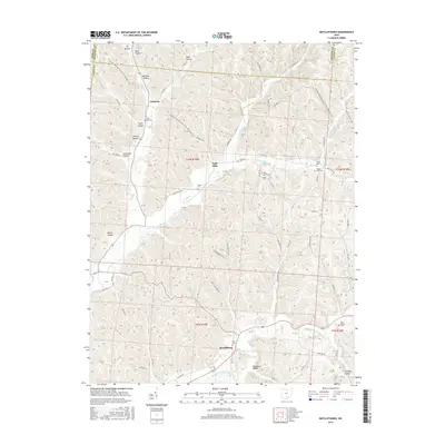
2016 Map of Ratcliffburg
USGS Topo · Published 2016About this map
Eagle Mills and Ratcliffburg serve as the primary focal points of this settlement landscape at the border of Vinton, Ross, and Hocking counties. The terrain is deeply carved by numerous hollows and runs, such as Lipscomb Hollow, Pretty Run, and Middle Fork Salt Creek, which have historically dictated the placement of roads and homesteads. The N Country National Scenic Trail winds through the northern hills, following the high ridges above Jimtown and Pike Run.
Find a feature on this map
71 named features on this map. Tap any name to fly to it.
Don’t see what you’re looking for? This feature index may not catch every label — zoom into the map to look around manually.
Map Details
Editions of this 2016 Ratcliffburg Map
This is the sole edition of this map. No revisions or reprints were ever made.
Other maps of this area

1906 · Waverly
USGS Topo · 1:62,500

1906 · Chillicothe
USGS Topo · 1:62,500

1908 · Chillicothe
USGS Topo · 1:62,500

1908 · Waverly
USGS Topo · 1:62,500

1910 · Laurelville
USGS Topo · 1:62,500

1912 · Laurelville
USGS Topo · 1:62,500

1913 · Jackson
USGS Topo · 1:62,500

1944 · Jackson
USGS Topo · 1:62,500

1944 · Laurelville
USGS Topo · 1:62,500

1947 · Columbus
USGS Topo · 1:250,000