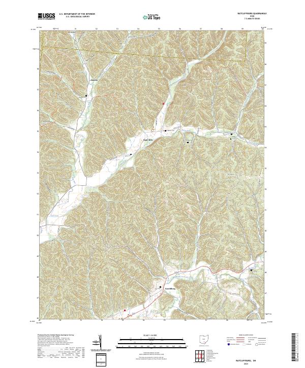
2023 Map of Ratcliffburg
USGS Topo · Published 2023About this map
Eagle Mills and Ratcliffburg anchor this section of the Vinton County landscape, where the dissected terrain of the Allegheny Plateau is marked by a dense network of hollows and ridges. This modern survey illustrates the persistent rural character of southern Ohio, showing the winding courses of Salt Creek and the Middle Fork Salt Creek. The map is particularly rich for genealogical research, documenting numerous family and community burial grounds such as Scott Cem, Slagle Farm Cem, and Pike Run Cem. Significant portions of the northwest are dedicated to the Tar Hollow State Forest, while the modern North Country National Scenic Trl weaves through the topography. The settlement pattern remains tied to the valley floors and narrow ridge roads like Gearing Ridge Rd, preserving the spatial logic of nineteenth-century hamlets such as Jimtown.
Find a feature on this map
76 named features on this map. Tap any name to fly to it.
Don’t see what you’re looking for? This feature index may not catch every label — zoom into the map to look around manually.
Map Details
Editions of this 2023 Ratcliffburg Map
This is the sole edition of this map. No revisions or reprints were ever made.
Other maps of this area

1906 · Waverly
USGS Topo · 1:62,500

1906 · Chillicothe
USGS Topo · 1:62,500

1908 · Chillicothe
USGS Topo · 1:62,500

1908 · Waverly
USGS Topo · 1:62,500

1910 · Laurelville
USGS Topo · 1:62,500

1912 · Laurelville
USGS Topo · 1:62,500

1913 · Jackson
USGS Topo · 1:62,500

1944 · Jackson
USGS Topo · 1:62,500

1944 · Laurelville
USGS Topo · 1:62,500

1947 · Columbus
USGS Topo · 1:250,000