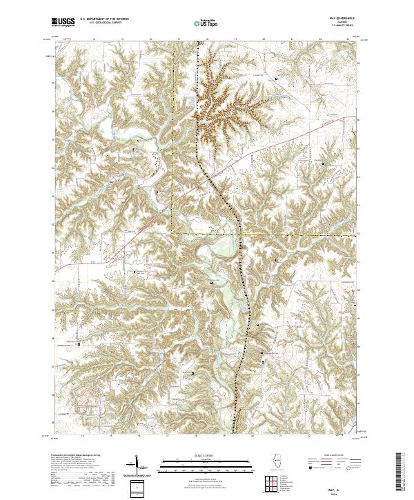
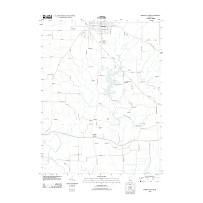
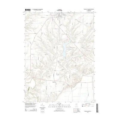
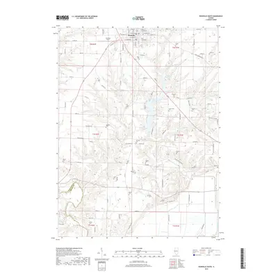
2024 Map of Ray
USGS Topo · Published 2024About this map
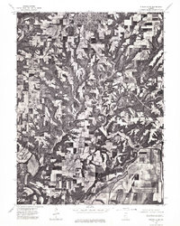
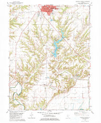
Ray sits at the heart of this landscape along the border of Schuyler and Fulton counties, where the terrain is deeply carved by the drainage of Sugar Creek. The area is notably dense with small family and community burial grounds, providing a significant resource for genealogical research. Sites such as Christian Neck Cem, Pittenger Cem, and Old Ridgeville Cem are scattered across the uplands and hollows, often near old farm roads like Devil's Backbone Rd. The southern portion of the map transition into a different aquatic environment characterized by Peabody Lakes, while numerous branches like Gaines Branch and Fiddle Branch feed the primary creek system. This 2024 data reflects a rural Illinois landscape where modern road networks like E State Rte 24 intersect with the legacy of nineteenth-century pioneer settlements and traditional land divisions.
Find a feature on this map
83 named features on this map. Tap any name to fly to it.
Don’t see what you’re looking for? This feature index may not catch every label — zoom into the map to look around manually.
Map Details
Editions of this 2024 Ray Map
This is the sole edition of this map. No revisions or reprints were ever made.
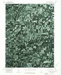
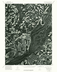
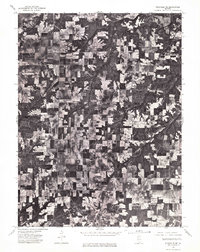
Historical Maps of Browning Through Time
28 maps found
1975 Augusta NW
Schuyler County, IL
1975 Beardstown SW
Schuyler County, IL
1975 Rushville NE
Schuyler County, IL
1975 Rushville SE
Schuyler County, IL
1981 Erwin
Schuyler County, IL
1981 Ray
Schuyler County, IL
1981 Rushville North
Schuyler County, IL
1981 Rushville South
Schuyler County, IL
2012 Erwin
Schuyler County, IL
2012 Ray
Schuyler County, IL
2012 Rushville North
Schuyler County, IL
2012 Rushville South
Schuyler County, IL
2015 Erwin
Schuyler County, IL
2015 Ray
Schuyler County, IL
2015 Rushville North
Schuyler County, IL
2015 Rushville South
Schuyler County, IL
2018 Erwin
Schuyler County, IL
2018 Ray
Schuyler County, IL
2018 Rushville North
Schuyler County, IL
2018 Rushville South
Schuyler County, IL
2021 Erwin
Schuyler County, IL
2021 Ray
Schuyler County, IL
2021 Rushville North
Schuyler County, IL
2021 Rushville South
Schuyler County, IL
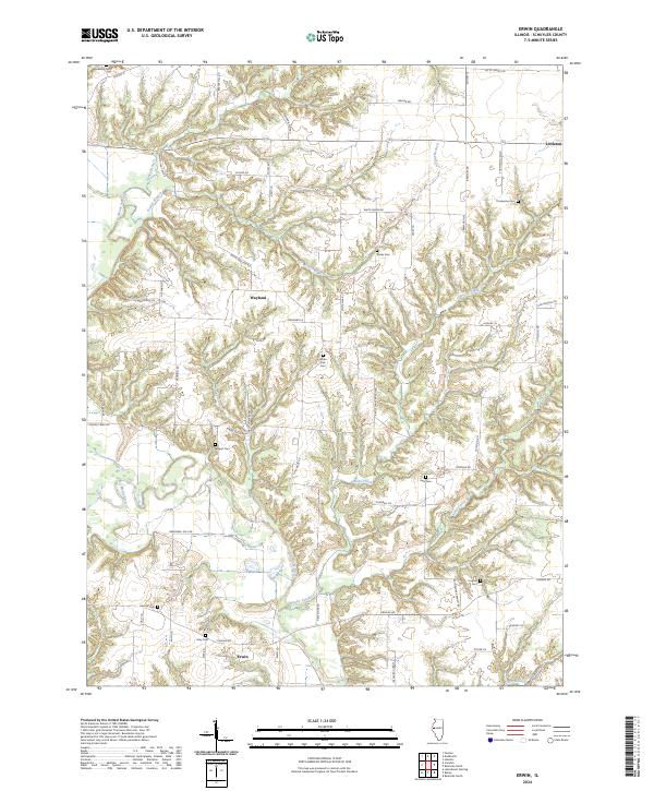
2024 Erwin
Schuyler County, IL
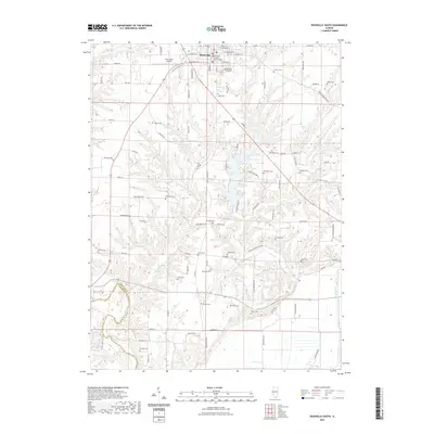
2024 Ray
Schuyler County, IL
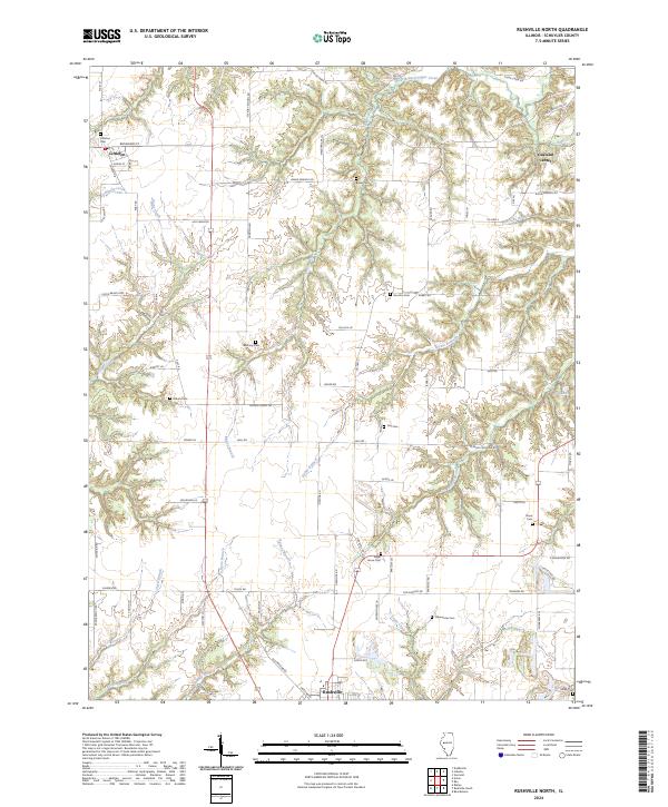
2024 Rushville North
Schuyler County, IL
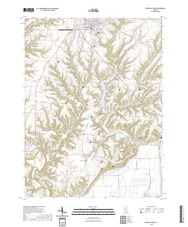
2024 Rushville South
Schuyler County, IL