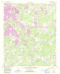
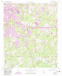
1956 Map of Redan
USGS Topo · Published 1983About this map
South River winds through the southern reaches of this landscape, marking the transition from suburban development to the granite-dominated terrain of Panola Mountain State Park. In the mid-1950s, the area reflects a balance between rural DeKalb County traditions and the encroaching growth of the Atlanta metropolitan area, visualized by the expansion around Glen Haven and Wesley Chapel. The map reveals a dense network of country churches and schoolhouses that once anchored these communities, including Fairfield Ch and the County Line Sch. Significant infrastructure of the era is evident along the Seaboard Air Line railroad and the early interstate interchanges. To the east, the landscape transitions into the distinctive geological features of Arabia Mtn State Park and the waters of Joels Lake, while local landmarks like Gonn Airfield and Klondike highlight the varied uses of the land during this period of transition.
Find a feature on this map
61 named features on this map. Tap any name to fly to it.
Don’t see what you’re looking for? This feature index may not catch every label — zoom into the map to look around manually.
Map Details
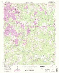
Editions of this 1956 Redan Map
7 editions found

Other maps of this area

1888 · Atlanta
USGS Topo · 1:125,000

1890 · Atlanta
USGS Topo · 1:125,000

1892 · Atlanta
USGS Topo · 1:125,000

1895 · Atlanta
USGS Topo · 1:125,000

1953 · Atlanta
USGS Topo · 1:250,000

1954 · Conley
USGS Topo · 1:24,000

1954 · Decatur
USGS Topo · 1:24,000

1954 · Jonesboro
USGS Topo · 1:24,000

1956 · Stone Mountain
USGS Topo · 1:24,000

1956 · Snellville
USGS Topo · 1:24,000