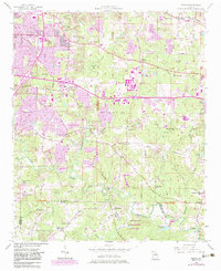
1956 Map of Redan
USGS Topo · Published 1983About this map
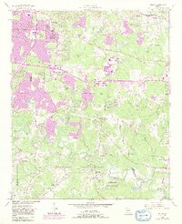
The South River and its major tributaries, including Snapfinger Creek and Pole Bridge Creek, carve a rolling path through this portion of DeKalb County during a period of rapid suburban transition. This 1956 survey, updated with 1980s data, illustrates the encroachment of development around Glen Haven and the corridors of the Seaboard Air Line railroad. Despite the growing urban tint, the map preserves the locations of numerous historic community centers like Kelleys Chapel, Wesley Chapel, and Salem Ch. The southeastern quadrant is defined by the significant geological and ecological landmarks of Panola Mountain State Park and Arabia Mtn State Park, which anchor the landscape near the small settlement of Klondike. Genealogists will find a wealth of local landmarks, from the Miller Grove Sch to small family burial grounds like the Vinson Cem and Mitchell Cem.
Find a feature on this map
81 named features on this map. Tap any name to fly to it.
Don’t see what you’re looking for? This feature index may not catch every label — zoom into the map to look around manually.
Map Details
Editions of this 1956 Redan Map
7 editions found

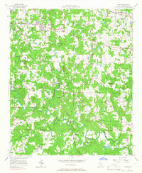
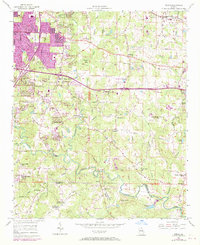
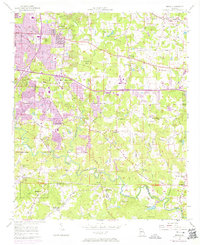
Other maps of this area

1888 · Atlanta
USGS Topo · 1:125,000

1890 · Atlanta
USGS Topo · 1:125,000

1892 · Atlanta
USGS Topo · 1:125,000

1895 · Atlanta
USGS Topo · 1:125,000

1953 · Atlanta
USGS Topo · 1:250,000

1954 · Conley
USGS Topo · 1:24,000

1954 · Decatur
USGS Topo · 1:24,000

1954 · Jonesboro
USGS Topo · 1:24,000

1956 · Stone Mountain
USGS Topo · 1:24,000

1956 · Snellville
USGS Topo · 1:24,000