
1939 Map of Refuge
USGS Topo · Published 1949About this map
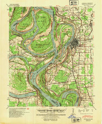
Greenville sits at a critical bend in the river, showing the complex industrial and residential grid of a Mississippi delta hub at the end of the 1930s. The landscape is defined by the massive, shifting course of the river, where man-made engineering like the Tarpley Cut-Off (1935) and Leland Cut-Off (1933) have transformed old river loops into expansive oxbows like Lake Chicot and Lake Lee. These engineering efforts, documented by the Corps of Engineers, were vital for flood control and navigation during an era when the river remained the region's primary artery.
Find a feature on this map
42 named features on this map. Tap any name to fly to it.
Don’t see what you’re looking for? This feature index may not catch every label — zoom into the map to look around manually.
Map Details
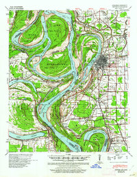
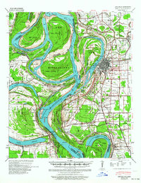
Editions of this 1939 Refuge Map
4 editions found
Other maps of this area

1933 · Lamont
USGS Topo · 1:62,500

1936 · McGehee
USGS Topo · 1:62,500

1936 · Eudora
USGS Topo · 1:62,500

1936 · Lake Village
USGS Topo · 1:62,500

1937 · McGehee
USGS Topo · 1:62,500

1939 · Readland
USGS Topo · 1:62,500

1939 · Lamont
USGS Topo · 1:62,500

1939 · Tralake
USGS Topo · 1:62,500

1939 · Choctaw
USGS Topo · 1:62,500

1939 · Swan Lake
USGS Topo · 1:62,500