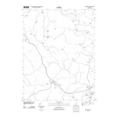
2010 Map of Rio Grande
USGS Topo · Published 2010About this map
Rio Grande and the surrounding Gallia County countryside appear in this survey, defined by a landscape of winding creeks and family cemeteries. The village of Thurman serves as a local hub near Smoky Hollow, while the Rio Grande Reservoir and its dam sit at the southern edge of the quadrangle. High ground is marked by features like Lackey Ridge and Brush Ridge, providing a topographic backdrop to the numerous burial grounds that dot the region, including Bethlehem Cemetery, Rehobeth Cemetery, and the Dixon Run Cemetery in the northwest.
Find a feature on this map
105 named features on this map. Tap any name to fly to it.
Don’t see what you’re looking for? This feature index may not catch every label — zoom into the map to look around manually.
Map Details
Editions of this 2010 Rio Grande Map
This is the sole edition of this map. No revisions or reprints were ever made.
Other maps of this area

1905 · Wilkesville
USGS Topo · 1:62,500

1906 · Bidwell
USGS Topo · 1:62,500

1908 · Bidwell
USGS Topo · 1:62,500

1908 · Wilkesville
USGS Topo · 1:62,500

1912 · Oak Hill
USGS Topo · 1:62,500

1913 · Jackson
USGS Topo · 1:62,500

1944 · Jackson
USGS Topo · 1:62,500

1947 · Columbus
USGS Topo · 1:250,000

1957 · Huntington
USGS Topo · 1:250,000

1960 · Huntington
USGS Topo · 1:250,000