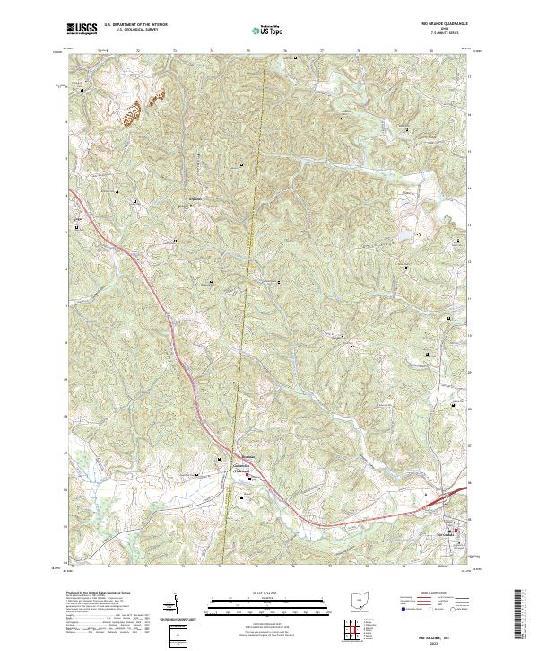
2023 Map of Rio Grande
USGS Topo · Published 2023About this map
Thurman and Centerville sit at the geographic heart of this Gallia County landscape, where the headwaters of Indian Creek and Little Indian Creek carve through the terrain. The map reveals a dense network of family and community history, evidenced by nearly two dozen burial grounds including Bethany, Rehobeth, and New Zion. To the southeast, the University of Rio Grande campus and the adjacent Rio Grande Reservoir mark the local educational and infrastructure hub, while small crossroads like Vega and Orpheus anchor the northern reaches near Dixon Run. The land is defined by prominent ridges and hollows, such as Lackey Ridge and Smoky Hollow, which have dictated the winding paths of township highways and rural roads for generations. This survey provides a precise record of these long-standing settlement patterns and the scattered rural institutions that define the region.
Find a feature on this map
122 named features on this map. Tap any name to fly to it.
Don’t see what you’re looking for? This feature index may not catch every label — zoom into the map to look around manually.
Map Details
Editions of this 2023 Rio Grande Map
This is the sole edition of this map. No revisions or reprints were ever made.
Other maps of this area

1905 · Wilkesville
USGS Topo · 1:62,500

1906 · Bidwell
USGS Topo · 1:62,500

1908 · Bidwell
USGS Topo · 1:62,500

1908 · Wilkesville
USGS Topo · 1:62,500

1912 · Oak Hill
USGS Topo · 1:62,500

1913 · Jackson
USGS Topo · 1:62,500

1944 · Jackson
USGS Topo · 1:62,500

1947 · Columbus
USGS Topo · 1:250,000

1957 · Huntington
USGS Topo · 1:250,000

1960 · Huntington
USGS Topo · 1:250,000