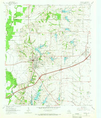
1963 Map of Rockwall
USGS Topo · Published 1966About this map
The town of Rockwall serves as the focal point for this mid-1960s survey, showing a landscape defined by the East Fork Trinity River and an extensive network of small private and named lakes. This era captures the area before the massive expansion of the Dallas-Fort Worth metroplex, when the Missouri Kansas Texas and Texas and Pacific Railroad corridors still dictated the local geography. Significant local markers for genealogists include Mt Zion Cem and the Antioch Ch, alongside smaller communities like Fate and Millwood.
Find a feature on this map
41 named features on this map. Tap any name to fly to it.
Don’t see what you’re looking for? This feature index may not catch every label — zoom into the map to look around manually.
Map Details
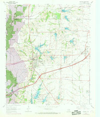
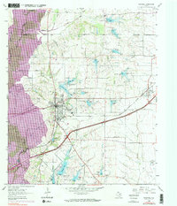
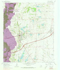
Editions of this 1963 Rockwall Map
4 editions found
Other maps of this area

1891 · Dallas
USGS Topo · 1:125,000

1893 · Dallas
USGS Topo · 1:125,000

1912 · Rockwall
USGS Topo · 1:31,680

1919 · Royse City
USGS Topo · 1:62,500

1924 · Farmersville 3-c
USGS Topo · 1:48,000

1924 · Mc Kinney 4-d
USGS Topo · 1:48,000

1929 · McKinney
USGS Topo · 1:62,500

1930 · Farmersville
USGS Topo · 1:62,500

1954 · Dallas
USGS Topo · 1:250,000

1954 · Sherman
USGS Topo · 1:250,000