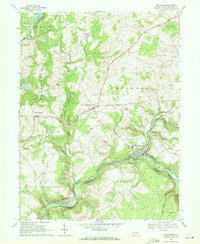
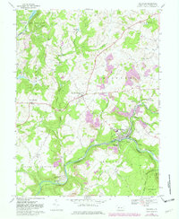
1968 Map of Rockwood
USGS Topo · Published 1972About this map
The Casselman River winds through the heart of Somerset County, where the industrial presence of the Baltimore and Ohio and Western Maryland railroads defines the corridor. Centered on the borough of Rockwood, the 1968 landscape is a mosaic of coal extraction and rural community life, marked by numerous strip mines that dot the hillsides of Milford and Black townships. This map captures the region’s evolution from timber and transit to a diversified economy, evidenced by the infrastructure at Rockwood Station and the developed recreation at Laurel Hill State Park.
Find a feature on this map
42 named features on this map. Tap any name to fly to it.
Don’t see what you’re looking for? This feature index may not catch every label — zoom into the map to look around manually.
Map Details
Editions of this 1968 Rockwood Map
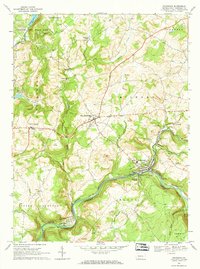
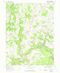
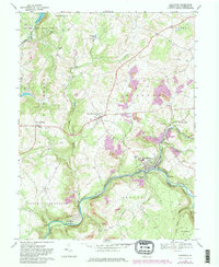
5 editions found
Other maps of this area

1913 · Somerset
USGS Topo · 1:62,500

1915 · Somerset
USGS Topo · 1:62,500

1921 · Meyersdale
USGS Topo · 1:62,500

1922 · Confluence
USGS Topo · 1:62,500

1922 · Donegal
USGS Topo · 1:62,500

1931 · Confluence
USGS Topo · 1:62,500

1933 · Confluence
USGS Topo · 1:62,500

1935 · Donegal
USGS Topo · 1:62,500

1939 · Meyersdale
USGS Topo · 1:62,500

1944 · Somerset
USGS Topo · 1:62,500