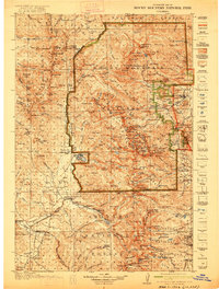
1919 Map of Rocky Mountain National Park
USGS Topo · Published 1922About this map
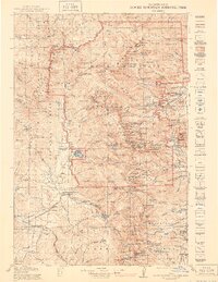
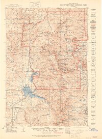
Monarch PO and the Denver and Rio Grande RR corridor represent the early 20th-century development of the Colorado high country just as Rocky Mountain National Park was established. The map depicts a landscape where traditional transit routes like the Ute Trail and the Grand Lake Trail intersect with modern engineering feats such as the Fall River Road. This era shows the convergence of alpine conservation and pioneer infrastructure, where remote outposts like Sleepy Hollow School and Camp Ouray served small populations in the shadows of the Medicine Bow Mts and Nokhu Crags. Water systems define the terrain, from the high Poudre Lakes at the Continental Divide to the lower elevation Stillwater Creek and Illinois River. The map captures the region when Grand Lake was becoming a focal point for recreation while nearby Granby and Coulter remained vital transit links for the ranching and rail economy.
Find a feature on this map
228 named features on this map. Tap any name to fly to it.
Don’t see what you’re looking for? This feature index may not catch every label — zoom into the map to look around manually.
Map Details
Editions of this 1919 Rocky Mountain National Park Map
7 editions found

Other maps of this area

1899 · West Denver
USGS Topo · 1:125,000

1902 · Boulder
USGS Topo · 1:62,500

1904 · Boulder
USGS Topo · 1:62,500

1905 · Central City
USGS Topo · 1:62,500

1905 · Mount Olympus
USGS Topo · 1:62,500

1906 · Blackhawk
USGS Topo · 1:62,500

1907 · Mount Olympus
USGS Topo · 1:62,500

1907 · Livermore
USGS Topo · 1:125,000

1909 · Livermore
USGS Topo · 1:125,000

1910 · Central City
USGS Topo · 1:62,500