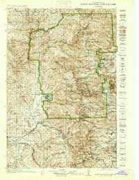
1919 Map of Rocky Mountain National Park
USGS Topo · Published 1937About this map
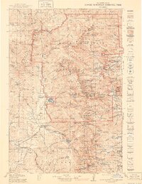
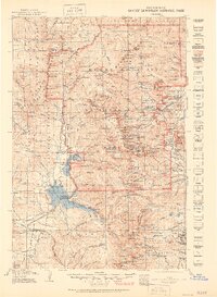
Longs Peak and the high summits of the Front Range dominate this topographic record, which captures the early infrastructure of Rocky Mountain National Park during its first decades. Surveyed between 1912 and 1915, the map reflects a landscape at the dawn of automotive tourism, featuring the Fall River Road and the Grand Lake Road before the completion of more modern thoroughfares. Near the southern edge, the Denver and Salt Lake RR cuts through the high country toward Granby, supporting a mountain economy still tied to resource extraction, as evidenced by the Fourth of July Mines. Local life is anchored at Grand Lake and the Monarch PO, while the Sleepy Hollow School serves the dispersed mountain residents. This 1937 reprint, updated with 1938 trail data by the National Park Service, provides an essential view of the park's development before post-war expansion.
Find a feature on this map
158 named features on this map. Tap any name to fly to it.
Don’t see what you’re looking for? This feature index may not catch every label — zoom into the map to look around manually.
Map Details
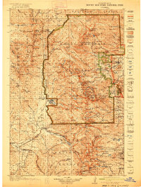
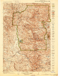
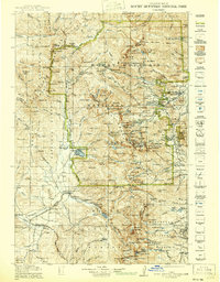
Editions of this 1919 Rocky Mountain National Park Map
7 editions found

Other maps of this area

1899 · West Denver
USGS Topo · 1:125,000

1902 · Boulder
USGS Topo · 1:62,500

1904 · Boulder
USGS Topo · 1:62,500

1905 · Central City
USGS Topo · 1:62,500

1905 · Mount Olympus
USGS Topo · 1:62,500

1906 · Blackhawk
USGS Topo · 1:62,500

1907 · Mount Olympus
USGS Topo · 1:62,500

1907 · Livermore
USGS Topo · 1:125,000

1909 · Livermore
USGS Topo · 1:125,000

1910 · Central City
USGS Topo · 1:62,500