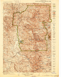
1919 Map of Rocky Mountain National Park
USGS Topo · Published 1931About this map
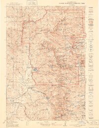
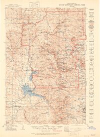
Grand Lake and the high peaks of the Front Range dominate this early topographic study, surveyed just as Rocky Mountain National Park was established. The map documents a landscape in transition, where old mining camps like the Fourth of July Mines and the Monarch PO settlement sit alongside emerging tourist gateways like Estes Park. The arrival of the Denver and Salt Lake RR near Granby and the development of early motor routes like Fall River Road and Trail Ridge signal the shift from extraction to recreation. High-altitude landmarks such as Longs Peak, Mt Alice, and Mt Meeker are meticulously rendered, while the western side of the continental divide reveals the Kawuneeche Valley and the headwaters of the Colorado River. Local life is visible in the placement of the Sleepy Hollow School and isolated outposts like Camp Handy, providing a detailed view of the region before modern development.
Find a feature on this map
176 named features on this map. Tap any name to fly to it.
Don’t see what you’re looking for? This feature index may not catch every label — zoom into the map to look around manually.
Map Details
Editions of this 1919 Rocky Mountain National Park Map
7 editions found

Other maps of this area

1899 · West Denver
USGS Topo · 1:125,000

1902 · Boulder
USGS Topo · 1:62,500

1904 · Boulder
USGS Topo · 1:62,500

1905 · Central City
USGS Topo · 1:62,500

1905 · Mount Olympus
USGS Topo · 1:62,500

1906 · Blackhawk
USGS Topo · 1:62,500

1907 · Mount Olympus
USGS Topo · 1:62,500

1907 · Livermore
USGS Topo · 1:125,000

1909 · Livermore
USGS Topo · 1:125,000

1910 · Central City
USGS Topo · 1:62,500