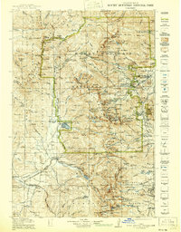
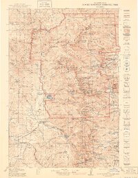
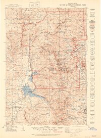
1919 Map of Rocky Mountain National Park
USGS Topo · Published 1940About this map
The Continental Divide serves as the backbone for this 1919 study, where the peaks of the Medicine Bow Mountains meet the high alpine lakes of the Colorado Rockies. Before the era of heavy modern tourism, the landscape is defined by remote outposts like Monarch P O and the small settlement of Estes Park. Mapping of this era highlights the essential transit routes through the high country, including the ancient Ute Trail and the crossing at Thunder Pass.
Find a feature on this map
266 named features on this map. Tap any name to fly to it.
Don’t see what you’re looking for? This feature index may not catch every label — zoom into the map to look around manually.
Map Details
Editions of this 1919 Rocky Mountain National Park Map
7 editions found

Other maps of this area

1899 · West Denver
USGS Topo · 1:125,000

1902 · Boulder
USGS Topo · 1:62,500

1904 · Boulder
USGS Topo · 1:62,500

1905 · Central City
USGS Topo · 1:62,500

1905 · Mount Olympus
USGS Topo · 1:62,500

1906 · Blackhawk
USGS Topo · 1:62,500

1907 · Mount Olympus
USGS Topo · 1:62,500

1907 · Livermore
USGS Topo · 1:125,000

1909 · Livermore
USGS Topo · 1:125,000

1910 · Central City
USGS Topo · 1:62,500