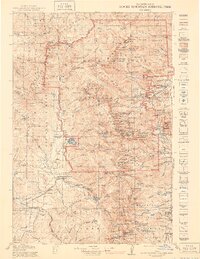
1919 Map of Rocky Mountain National Park
USGS Topo · Published 1947About this map
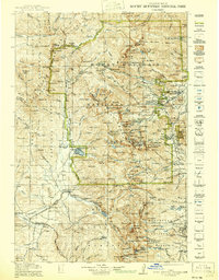
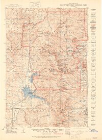
Estes Park and the high alpine terrain of the Continental Divide anchor this extensive survey, which documents the early road and trail network of the Rocky Mountain National Park during its first decades. The mapping shows the early footprint of tourism and settlement before the expansion of the modern highway system, including the original Fall River Road and the Ute Trail. Local life is visible in the presence of the Sleepy Hollow School and the Monarch PO near Grand Lake, while the industrial past of the High Country is represented by the Fourth of July Mines and Sawmill Meadow. The transition from the rugged Mummy Range to the valley settlements like Granby and Allenspark illustrates the remote character of North-Central Colorado in the years following the park's establishment.
Find a feature on this map
285 named features on this map. Tap any name to fly to it.
Don’t see what you’re looking for? This feature index may not catch every label — zoom into the map to look around manually.
Map Details
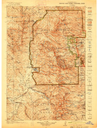
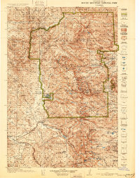
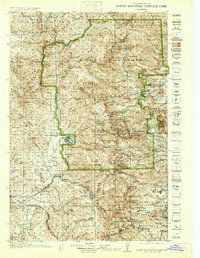
Editions of this 1919 Rocky Mountain National Park Map
7 editions found

Other maps of this area

1899 · West Denver
USGS Topo · 1:125,000

1902 · Boulder
USGS Topo · 1:62,500

1904 · Boulder
USGS Topo · 1:62,500

1905 · Central City
USGS Topo · 1:62,500

1905 · Mount Olympus
USGS Topo · 1:62,500

1906 · Blackhawk
USGS Topo · 1:62,500

1907 · Mount Olympus
USGS Topo · 1:62,500

1907 · Livermore
USGS Topo · 1:125,000

1909 · Livermore
USGS Topo · 1:125,000

1910 · Central City
USGS Topo · 1:62,500