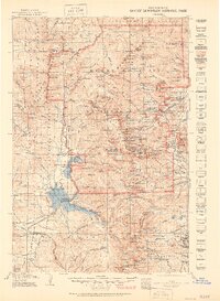
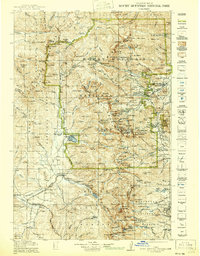
1919 Map of Rocky Mountain National Park
USGS Topo · Published 1951About this map
Monarch PO and the rural Sleepy Hollow School anchor the southern reaches of this landscape, which spans the high wilderness of the Continental Divide between 1912 and 1915. This reprint includes essential road and trail data updated by the National Park Service in 1940, reflecting the transition of the region from a mining and ranching frontier into a premier mountain destination. While the eastern gateway at Estes Park is clearly defined, the map also captures the earlier industrial footprints of the Fourth of July Mines and small settlements like Allens Park and Ward. The network of trails, including the historic Ute Trail, follows the natural contours of the Medicine Bow Mountains and the drainage of the Colorado River, providing a look at the early access routes used before the modernization of the park's interior roads.
Find a feature on this map
257 named features on this map. Tap any name to fly to it.
Don’t see what you’re looking for? This feature index may not catch every label — zoom into the map to look around manually.
Map Details
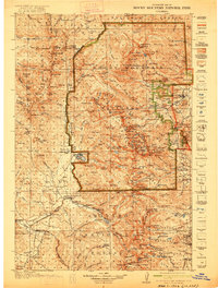
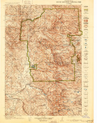
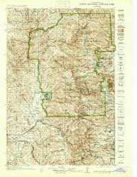
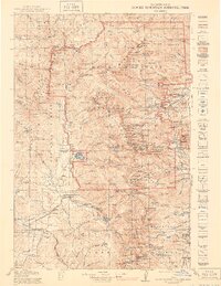
Editions of this 1919 Rocky Mountain National Park Map
7 editions found

Other maps of this area

1899 · West Denver
USGS Topo · 1:125,000

1902 · Boulder
USGS Topo · 1:62,500

1904 · Boulder
USGS Topo · 1:62,500

1905 · Central City
USGS Topo · 1:62,500

1905 · Mount Olympus
USGS Topo · 1:62,500

1906 · Blackhawk
USGS Topo · 1:62,500

1907 · Mount Olympus
USGS Topo · 1:62,500

1907 · Livermore
USGS Topo · 1:125,000

1909 · Livermore
USGS Topo · 1:125,000

1910 · Central City
USGS Topo · 1:62,500