
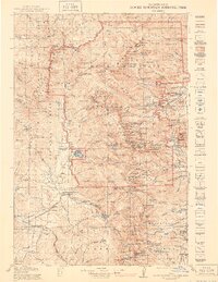
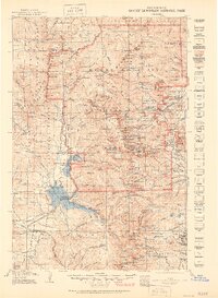
1919 Map of Rocky Mountain National Park
USGS Topo · Published 1919About this map
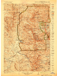
Estes Park and Grand Lake anchor this 1919 survey, representing the eastern and western gateways to the high alpine country before the widespread development of modern infrastructure. This era captures the landscape as it transitioned into a federally protected park, with early settlements like Moraine Park and Allens Park established alongside the burgeoning tourism of the early twentieth century. The map meticulously details the drainage systems of the Big Thompson River and Roaring River, providing a clear view of the watersheds that defined early ranching and travel routes in the region.
Find a feature on this map
126 named features on this map. Tap any name to fly to it.
Don’t see what you’re looking for? This feature index may not catch every label — zoom into the map to look around manually.
Map Details
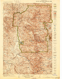
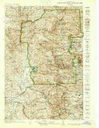
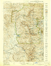
Editions of this 1919 Rocky Mountain National Park Map
7 editions found
Other maps of this area

1899 · West Denver
USGS Topo · 1:125,000

1902 · Boulder
USGS Topo · 1:62,500

1904 · Boulder
USGS Topo · 1:62,500

1905 · Central City
USGS Topo · 1:62,500

1905 · Mount Olympus
USGS Topo · 1:62,500

1906 · Blackhawk
USGS Topo · 1:62,500

1907 · Mount Olympus
USGS Topo · 1:62,500

1907 · Livermore
USGS Topo · 1:125,000

1909 · Livermore
USGS Topo · 1:125,000

1910 · Central City
USGS Topo · 1:62,500