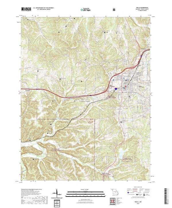
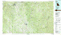
2021 Map of Rolla
USGS Topo · Published 2021About this map
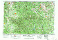
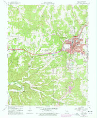
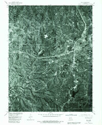
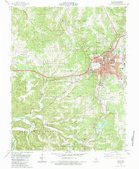
The city of Rolla and its surrounding rugged hill country are documented here, anchored by the sprawling campus of the Missouri University of Science and Technology and the historic Phelps County Courthouse. The map highlights a landscape defined by sharp elevation changes and deep hollows like Poole Hollow and Milldam Hollow, much of which is protected within the Mark Twain National Forest.
Find a feature on this map
180 named features on this map. Tap any name to fly to it.
Don’t see what you’re looking for? This feature index may not catch every label — zoom into the map to look around manually.
Map Details
Editions of this 2021 Rolla Map
This is the sole edition of this map. No revisions or reprints were ever made.
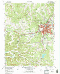
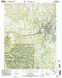
Historical Maps of Doolittle Through Time
19 maps found
1912 Rolla
Phelps County, MO

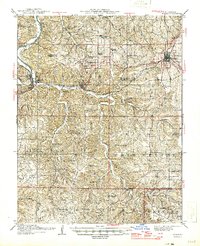
1949 Rolla
Phelps County, MO
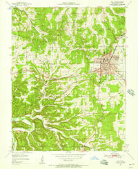
1951 Rolla
Phelps County, MO
1951 Rolla
Phelps County, MO

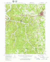
1953 Rolla
Phelps County, MO
1954 Rolla
Phelps County, MO

1958 Rolla
Phelps County, MO

1959 Rolla
Phelps County, MO

1960 Rolla
Phelps County, MO
1963 Rolla
Phelps County, MO

1966 Rolla
Phelps County, MO

1971 Rolla
Phelps County, MO
1980 Rolla
Phelps County, MO
1985 Rolla
Phelps County, MO
1986 Rolla
Phelps County, MO

1989 Rolla
Phelps County, MO
1992 Rolla
Phelps County, MO
2004 Rolla
Phelps County, MO
2021 Rolla
Phelps County, MO