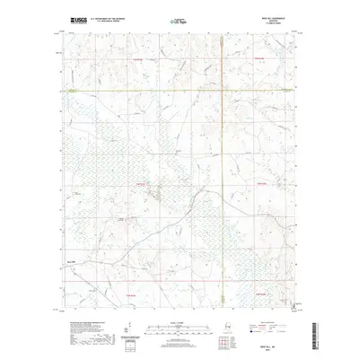
2020 Map of Rose Hill
USGS Topo · Published 2020About this map
Rose Hill serves as the primary settlement hub in this region where the borders of Jasper, Newton, Lauderdale, and Clarke counties meet. The landscape is defined by an intricate network of waterways, including Penantly Cr and Souenlovie Cr, which wind through the low-lying terrain. This area exhibits a dispersed rural character, with life centered around local roads like Parks Mill Rd and various community burial grounds. Genealogists and local historians will find significant value in the distribution of family and community sites, such as Fellowship Cem, Rose Hill Cem, and Lawson Cem. The survey detail captures the modern road system, including Co Rd 5137, while maintaining the names of traditional landmarks like Wanita Cr and Twistwood Cr that have oriented residents for generations.
Find a feature on this map
61 named features on this map. Tap any name to fly to it.
Don’t see what you’re looking for? This feature index may not catch every label — zoom into the map to look around manually.
Map Details
Editions of this 2020 Rose Hill Map
This is the sole edition of this map. No revisions or reprints were ever made.
Other maps of this area

1953 · Meridian
USGS Topo · 1:250,000

1957 · Meridian
USGS Topo · 1:250,000

1957 · Chunky
USGS Topo · 1:62,500

1957 · Enterprise
USGS Topo · 1:62,500

1965 · Meridian
USGS Topo · 1:250,000

1966 · Hickory
USGS Topo · 1:24,000

1970 · Paulding
USGS Topo · 1:24,000

1970 · Hero
USGS Topo · 1:24,000

1982 · Meehan
USGS Topo · 1:24,000
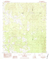
1983 · Rose Hill
USGS Topo · 1:24,000