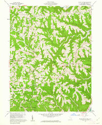
1960 Map of Round Bottom
USGS Topo · Published 1962About this map
Wayne National Forest land occupies much of the southern hills in this 1960 survey, a landscape characterized by deep drainages and narrow ridges leading down to the Ohio River. Small settlements like Hannibal and Sardis sit along the riverbank, while the interior is marked by a network of rural ridge-top communities. The area's reliance on early natural resource extraction is evident from scattered Oil Wells, particularly near Round Bottom.
Find a feature on this map
75 named features on this map. Tap any name to fly to it.
Don’t see what you’re looking for? This feature index may not catch every label — zoom into the map to look around manually.
Map Details
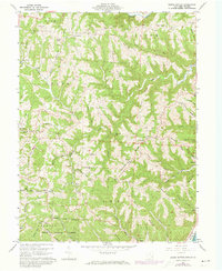
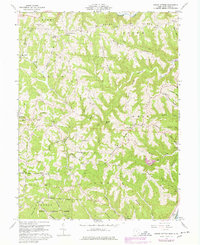
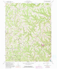
Editions of this 1960 Round Bottom Map
4 editions found
Other maps of this area

1905 · Clarington
USGS Topo · 1:62,500

1905 · New Matamoras
USGS Topo · 1:62,500

1905 · Woodsfield
USGS Topo · 1:62,500

1906 · New Martinsville
USGS Topo · 1:62,500

1924 · New Martinsville
USGS Topo · 1:62,500

1924 · New Matamoras
USGS Topo · 1:62,500

1926 · New Martinsville
USGS Topo · 1:62,500

1926 · New Matamoras
USGS Topo · 1:62,500

1935 · Clarington
USGS Topo · 1:62,500

1940 · Clarington
USGS Topo · 1:62,500