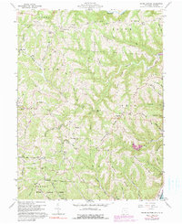
1960 Map of Round Bottom
USGS Topo · Published 1990About this map
Round Bottom and the surrounding river townships in Monroe County sit at a crossing point of industry and traditional rural settlement during the mid-twentieth century. The landscape is defined by its deep ridges and runs, where small communities like Benwood, Hannibal, and Sardis are linked by winding routes over Oak Ridge and Pleasant Ridge. Along the waterways, including Sunfish Creek and Opossum Creek, the map documents the region's agricultural and industrial ties, with scattered Oil Wells and historic milling sites such as Winklers Mill.
Find a feature on this map
81 named features on this map. Tap any name to fly to it.
Don’t see what you’re looking for? This feature index may not catch every label — zoom into the map to look around manually.
Map Details
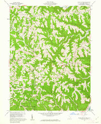
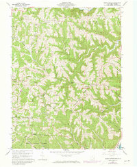
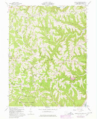
Editions of this 1960 Round Bottom Map
4 editions found
Other maps of this area

1905 · Clarington
USGS Topo · 1:62,500

1905 · New Matamoras
USGS Topo · 1:62,500

1905 · Woodsfield
USGS Topo · 1:62,500

1906 · New Martinsville
USGS Topo · 1:62,500

1924 · New Martinsville
USGS Topo · 1:62,500

1924 · New Matamoras
USGS Topo · 1:62,500

1926 · New Martinsville
USGS Topo · 1:62,500

1926 · New Matamoras
USGS Topo · 1:62,500

1935 · Clarington
USGS Topo · 1:62,500

1940 · Clarington
USGS Topo · 1:62,500