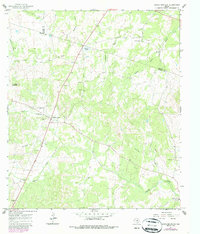
1967 Map of Round Mountain
USGS Topo · Published 1987About this map
Round Mountain sits at the junction of several key watercourses where the borders of Blanco, Burnet, and Llano counties converge. This 1960s survey, with later revisions, shows a landscape defined by ranching and small-scale extraction, evidenced by numerous Gravel Pits dotting the terrain. The settlement at Cypress Mill and the Round Mountain Cem provide significant points of interest for genealogists tracing families in the Texas Hill Country.
Find a feature on this map
25 named features on this map. Tap any name to fly to it.
Don’t see what you’re looking for? This feature index may not catch every label — zoom into the map to look around manually.
Map Details
Editions of this 1967 Round Mountain Map
2 editions found
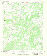
Other maps of this area

1887 · Blanco
USGS Topo · 1:125,000

1887 · Burnet
USGS Topo · 1:125,000

1893 · Burnet
USGS Topo · 1:125,000

1894 · Blanco
USGS Topo · 1:125,000

1903 · Burnet
USGS Topo · 1:125,000

1909 · Burnet
USGS Topo · 1:125,000

1925 · Burnet 3-d
USGS Topo · 1:48,000

1929 · Marble Falls
USGS Topo · 1:62,500

1931 · Marble Falls
USGS Topo · 1:48,000

1932 · Marble Falls
USGS Topo · 1:62,500