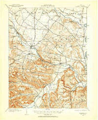
1912 Map of Roxabell
USGS Topo · Published 1958About this map
The Ohio and Erie Canal follows the eastern curve of the Scioto River north of Chillicothe, marking a transition from active waterway to historical relic by the time of this 1912 survey. Further west, the village of Frankfort serves as a local hub where the Dayton Road meets the North Fork Paint Creek. The landscape is defined by the sharp contrasts between the river bottomlands and the elevated ridges of Flyley Ridge and Spruce Hill.
Find a feature on this map
99 named features on this map. Tap any name to fly to it.
Don’t see what you’re looking for? This feature index may not catch every label — zoom into the map to look around manually.
Map Details
Editions of this 1912 Roxabell Map
This is the sole edition of this map. No revisions or reprints were ever made.
Other maps of this area
1906 · Waverly
USGS Topo · 1:62,500
1906 · Mt Sterling
USGS Topo · 1:62,500
1906 · Chillicothe
USGS Topo · 1:62,500
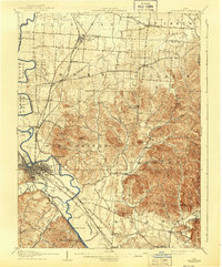
1908 · Chillicothe
USGS Topo · 1:62,500
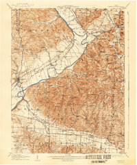
1908 · Waverly
USGS Topo · 1:62,500
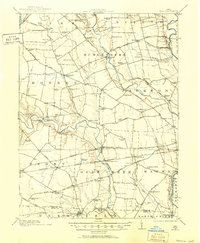
1911 · Era
USGS Topo · 1:62,500
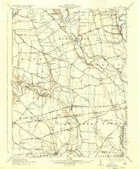
1913 · Era
USGS Topo · 1:62,500
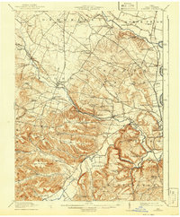
1914 · Roxabell
USGS Topo · 1:62,500
1914 · Circleville
USGS Topo · 1:62,500
1915 · Bainbridge
USGS Topo · 1:48,000